MyTopo
Levelland West Texas US Topo Map
Couldn't load pickup availability
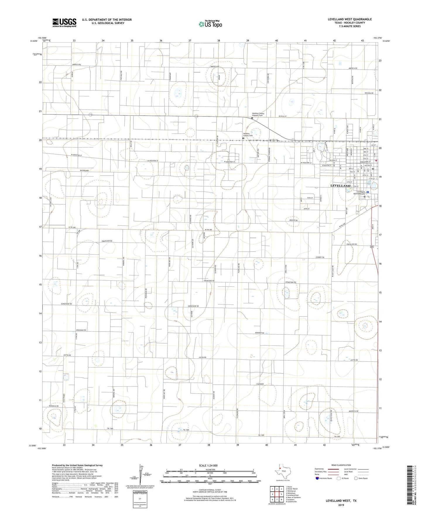
2022 topographic map quadrangle Levelland West in the state of Texas. Scale: 1:24000. Based on the newly updated USGS 7.5' US Topo map series, this map is in the following counties: Hockley. The map contains contour data, water features, and other items you are used to seeing on USGS maps, but also has updated roads and other features. This is the next generation of topographic maps. Printed on high-quality waterproof paper with UV fade-resistant inks.
Quads adjacent to this one:
West: Whiteface
Northwest: Pettit
North: Hester Ranch
Northeast: Whitharral
East: Levelland East
Southeast: Lockettville
South: Sundown
Southwest: West of Sundown
This map covers the same area as the classic USGS quad with code o33102e4.
Contains the following named places: Assembly of God Church - Parkview, Church of Christ, Cochran Emergency Medical Service, Fairview Church, First Presbyterian Church, Hockley County Cemetery, Hockley County Constable's Office Precinct 5, Hockley County Courthouse, Hockley County Hispanic Cemetery, Hockley County Sheriff's Office, Homebound School - Levelland, KHOC-FM (Levelland), KLVT-AM (Levelland), Levelland, Levelland City Hall, Levelland City Park, Levelland Emergency Medical Services, Levelland Fire Department, Levelland Municipal Cemetery, Levelland Police Department, Levelland Post Office, Lobo Lake, Lobo Lake Park, Northside City Park, West Early Childhood Center, West School, ZIP Code: 79336