MyTopo
Maravillas Gap Texas US Topo Map
Couldn't load pickup availability
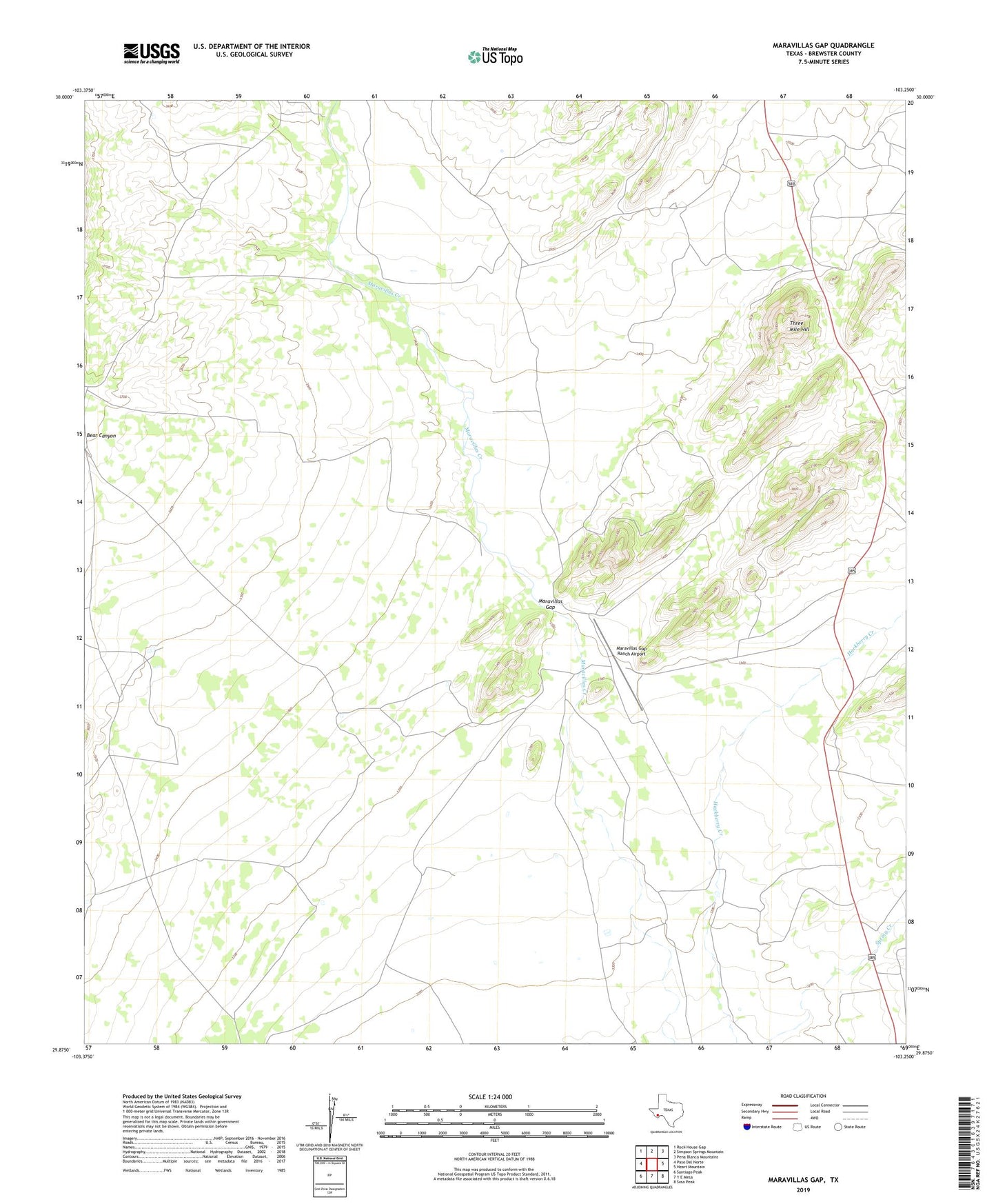
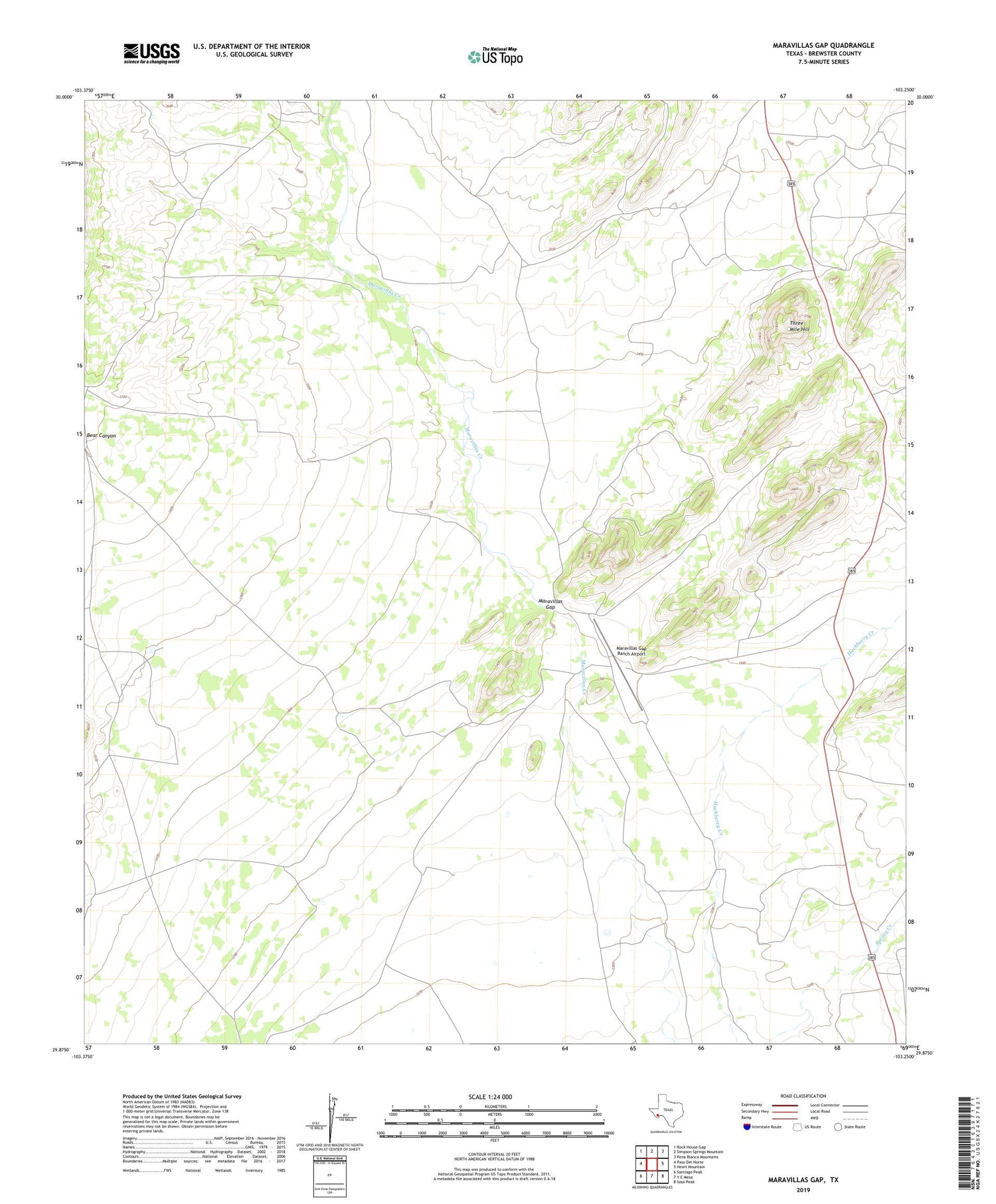
2019 topographic map quadrangle Maravillas Gap in the state of Texas. Scale: 1:24000. Based on the newly updated USGS 7.5' US Topo map series, this map is in the following counties: Brewster. The map contains contour data, water features, and other items you are used to seeing on USGS maps, but also has updated roads and other features. This is the next generation of topographic maps. Printed on high-quality waterproof paper with UV fade-resistant inks.
Quads adjacent to this one:
West: Paso Del Norte
Northwest: Rock House Gap
North: Simpson Springs Mountain
Northeast: Pena Blanca Mountains
East: Heart Mountain
Southeast: Sosa Peak
South: Y E Mesa
Southwest: Santiago Peak
Contains the following named places: Bear Canyon, Maravillas Gap, Maravillas Gap Ranch Airport, Reynolds Creek, Three Mile Hill