MyTopo
Rock House Gap Texas US Topo Map
Couldn't load pickup availability
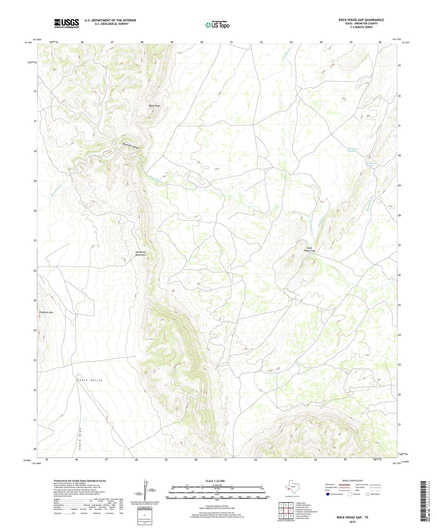
2022 topographic map quadrangle Rock House Gap in the state of Texas. Scale: 1:24000. Based on the newly updated USGS 7.5' US Topo map series, this map is in the following counties: Brewster. The map contains contour data, water features, and other items you are used to seeing on USGS maps, but also has updated roads and other features. This is the next generation of topographic maps. Printed on high-quality waterproof paper with UV fade-resistant inks.
Quads adjacent to this one:
West: Elephant Mountain
Northwest: Mount Ord
North: Dugout Mountain
Northeast: Beckwith Hills
East: Simpson Springs Mountain
Southeast: Maravillas Gap
South: Paso Del Norte
Southwest: Whirlwind Spring
This map covers the same area as the classic USGS quad with code o30103a4.
Contains the following named places: Black Peak, Doubtful Canyon, Dugout Creek, Manning Ranch, Monument Creek, Monument Spring, Monument Springs, Roberts Ranch, Rock House, Rock House Gap