MyTopo
Marcelinas Hills Texas US Topo Map
Couldn't load pickup availability
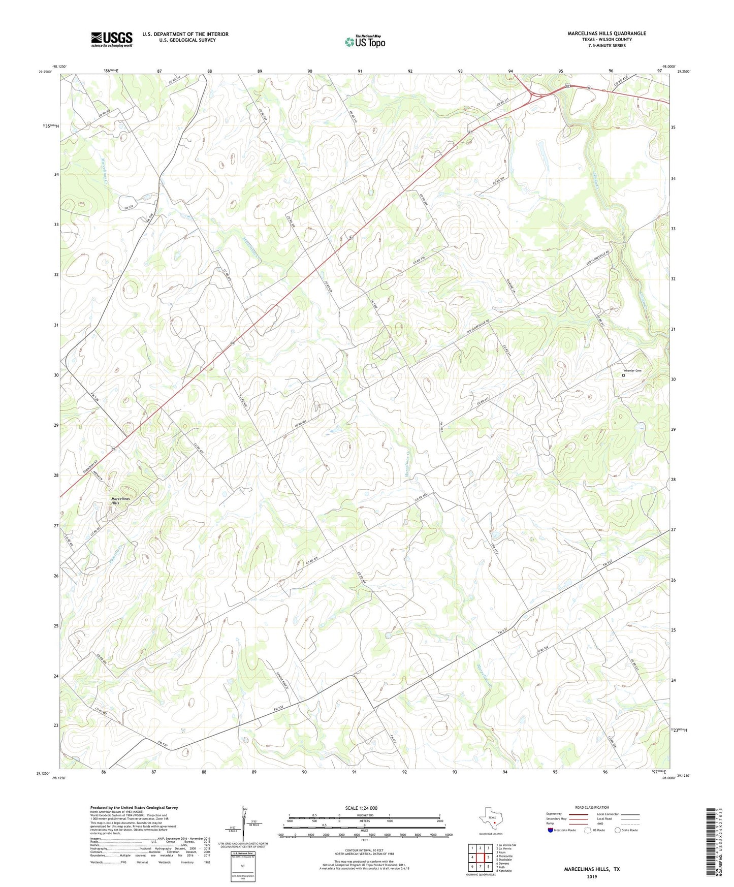
2019 topographic map quadrangle Marcelinas Hills in the state of Texas. Scale: 1:24000. Based on the newly updated USGS 7.5' US Topo map series, this map is in the following counties: Wilson. The map contains contour data, water features, and other items you are used to seeing on USGS maps, but also has updated roads and other features. This is the next generation of topographic maps. Printed on high-quality waterproof paper with UV fade-resistant inks.
Quads adjacent to this one:
West: Floresville
Northwest: La Vernia SW
North: La Vernia
Northeast: Alum
East: Stockdale
Southeast: Kosciusko
South: Poth
Southwest: Dewees
Contains the following named places: Clifton Branch, Floresville Oil Field, Gillingham Airport, Haverlah East Farm Airport, Marcelina Church, Marcelinas Hills, Sunnyside, Texas No Name Number 17 Dam, Unity, Wheeler Cemetery, Wilson County