MyTopo
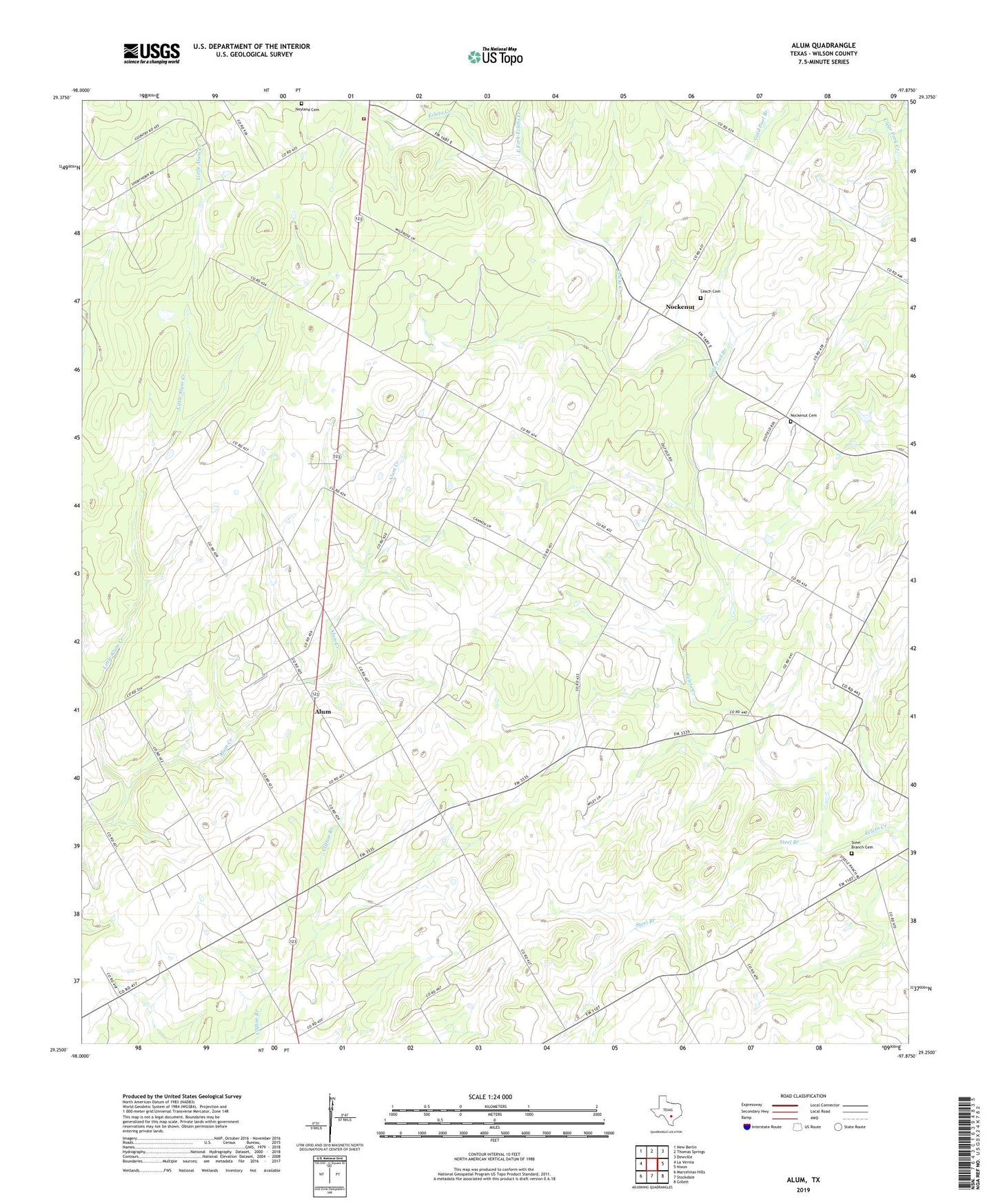
Alum Texas US Topo Map
Couldn't load pickup availability
2022 topographic map quadrangle Alum in the state of Texas. Scale: 1:24000. Based on the newly updated USGS 7.5' US Topo map series, this map is in the following counties: Wilson. The map contains contour data, water features, and other items you are used to seeing on USGS maps, but also has updated roads and other features. This is the next generation of topographic maps. Printed on high-quality waterproof paper with UV fade-resistant inks.
Quads adjacent to this one:
West: La Vernia
Northwest: New Berlin
North: Thomas Springs
Northeast: Dewville
East: Nixon
Southeast: Gillett
South: Stockdale
Southwest: Marcelinas Hills
This map covers the same area as the classic USGS quad with code o29097c8.
Contains the following named places: Alum, Caddo, East Fork Ecleto Creek, Ecleto Oil Field, Gold Pool Branch, Leach Cemetery, Little Alum Creek, Longhorn Volunteer Fire Department, Missionary Church, Nockenut, Nockenut Cemetery, Scotty Oil Field, Steel Branch, Steel Branch Cemetery, ZIP Code: 78160