MyTopo
Maverick Flat Texas US Topo Map
Couldn't load pickup availability
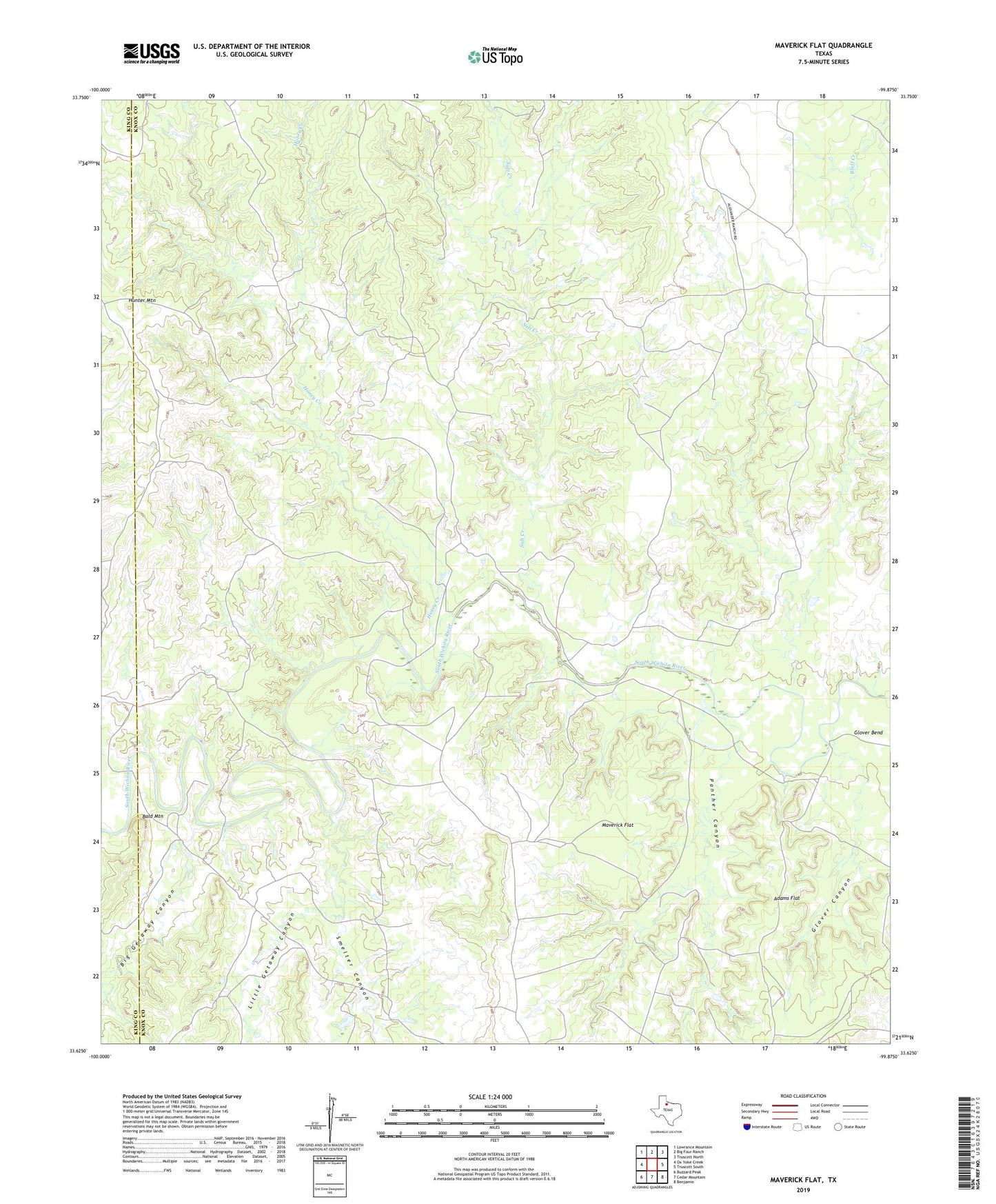
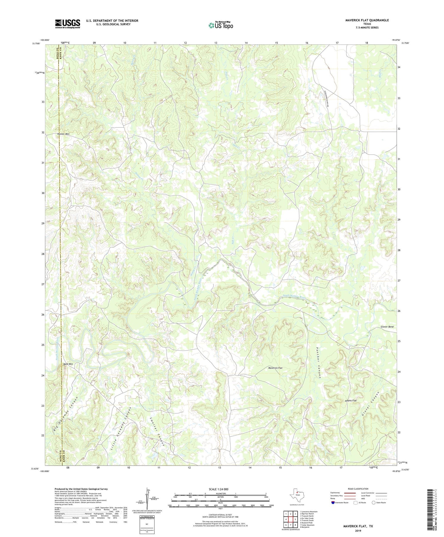
2019 topographic map quadrangle Maverick Flat in the state of Texas. Scale: 1:24000. Based on the newly updated USGS 7.5' US Topo map series, this map is in the following counties: Knox, King. The map contains contour data, water features, and other items you are used to seeing on USGS maps, but also has updated roads and other features. This is the next generation of topographic maps. Printed on high-quality waterproof paper with UV fade-resistant inks.
Quads adjacent to this one:
West: Ox Yoke Creek
Northwest: Lowrance Mountain
North: Big Four Ranch
Northeast: Truscott North
East: Truscott South
Southeast: Benjamin
South: Cedar Mountain
Southwest: Buzzard Peak
Contains the following named places: Adams Flat, Alexander Ranch, Bald Mountain, Big Getaway Canyon, Glover Canyon, Honey Creek, Hunter Mountain, Little Getaway Canyon, Maverick Flat, Panther Canyon, Salt Creek, Smelter Canyon