
MyTopo
Moravia Texas US Topo Map
Couldn't load pickup availability
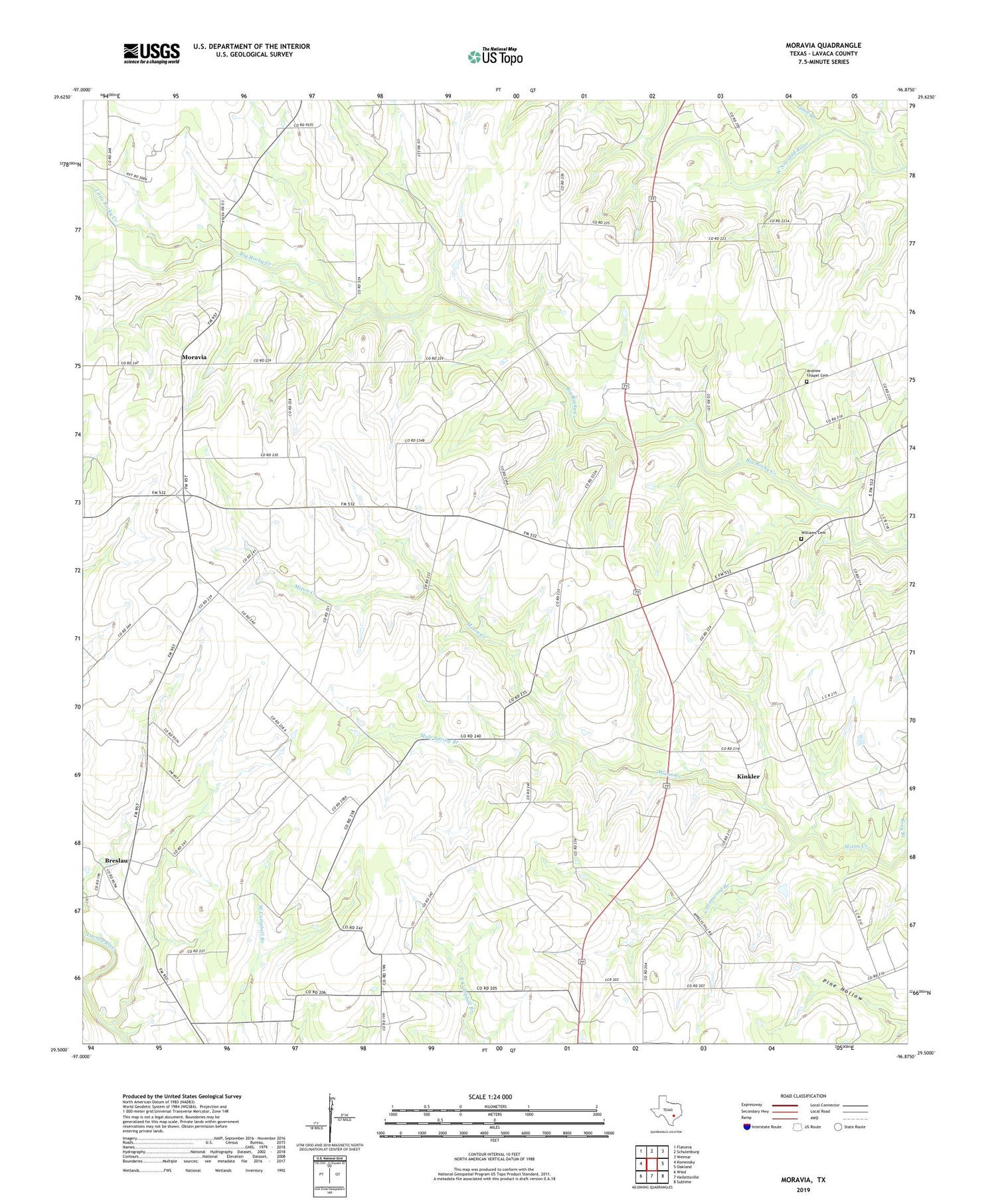
2019 topographic map quadrangle Moravia in the state of Texas. Scale: 1:24000. Based on the newly updated USGS 7.5' US Topo map series, this map is in the following counties: Lavaca. The map contains contour data, water features, and other items you are used to seeing on USGS maps, but also has updated roads and other features. This is the next generation of topographic maps. Printed on high-quality waterproof paper with UV fade-resistant inks.
Quads adjacent to this one:
West: Komensky
Northwest: Flatonia
North: Schulenburg
Northeast: Weimar
East: Oakland
Southeast: Sublime
South: Hallettsville
Southwest: Wied
Contains the following named places: Andrew Chapel Cemetery, Appelt Hill, Ascension of Our Lord Catholic Church, Breslau, Cottonwood Branch, Gleckler, Good Branch, Hackberry, Kinkler, Little Rocky Creek, Moravia, Mule Spring Branch, Old Kinkler, Saint Paul Church, Williams Cemetery, Willow Spring Church


