MyTopo
Komensky Texas US Topo Map
Couldn't load pickup availability
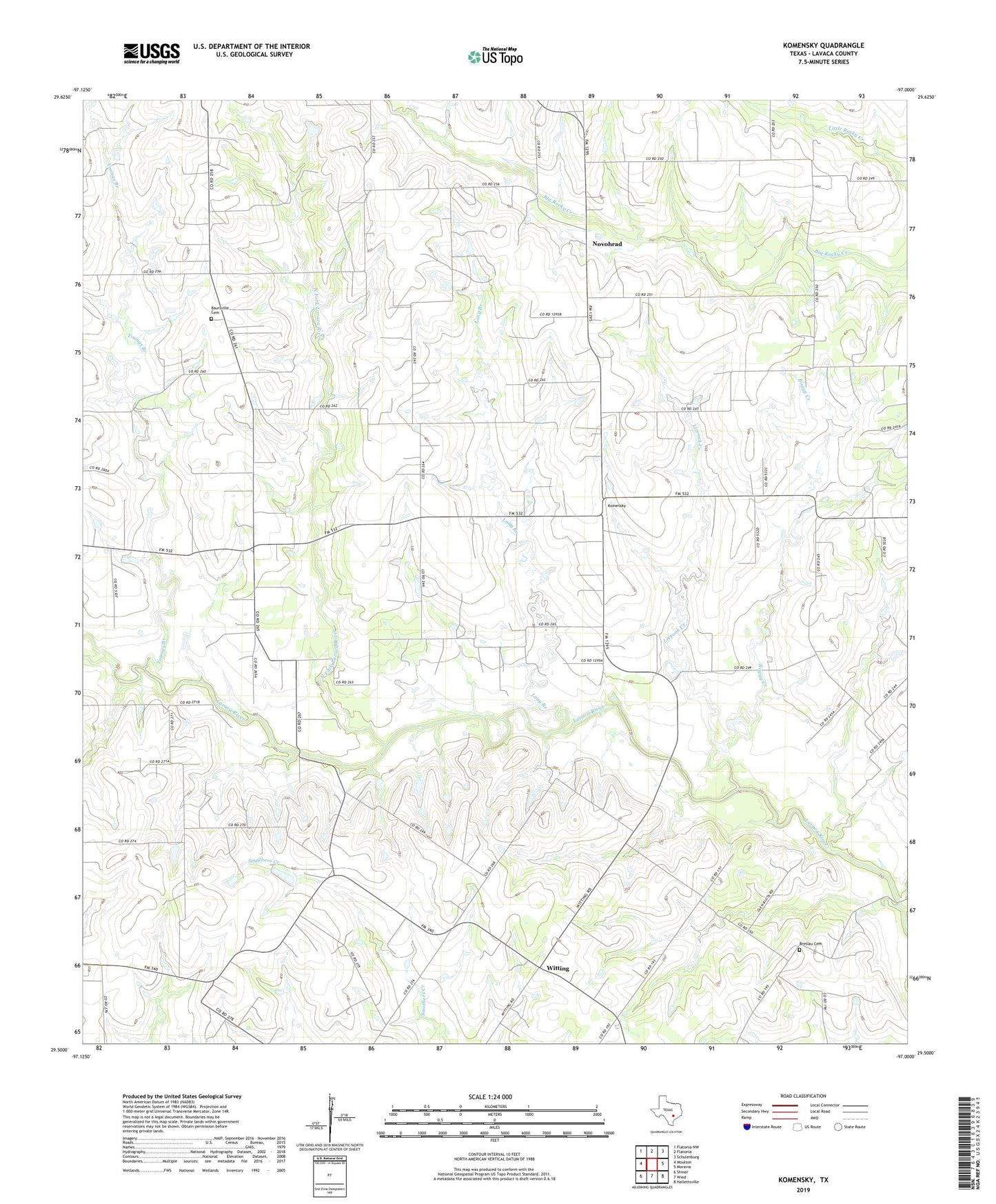
2022 topographic map quadrangle Komensky in the state of Texas. Scale: 1:24000. Based on the newly updated USGS 7.5' US Topo map series, this map is in the following counties: Lavaca. The map contains contour data, water features, and other items you are used to seeing on USGS maps, but also has updated roads and other features. This is the next generation of topographic maps. Printed on high-quality waterproof paper with UV fade-resistant inks.
Quads adjacent to this one:
West: Moulton
Northwest: Flatonia NW
North: Flatonia
Northeast: Schulenburg
East: Moravia
Southeast: Hallettsville
South: Wied
Southwest: Shiner
This map covers the same area as the classic USGS quad with code o29097e1.
Contains the following named places: Baursville Cemetery, Boggy Creek, Breslau Cemetery, Komensky, Liveoak Creek, Long Branch, Moulton Division, North Fork Lavaca River, Novohrad, West Prong Lavaca River, Witting, Youngs Branch, ZIP Code: 77975