
MyTopo
Moss Creek Lake Texas US Topo Map
Couldn't load pickup availability
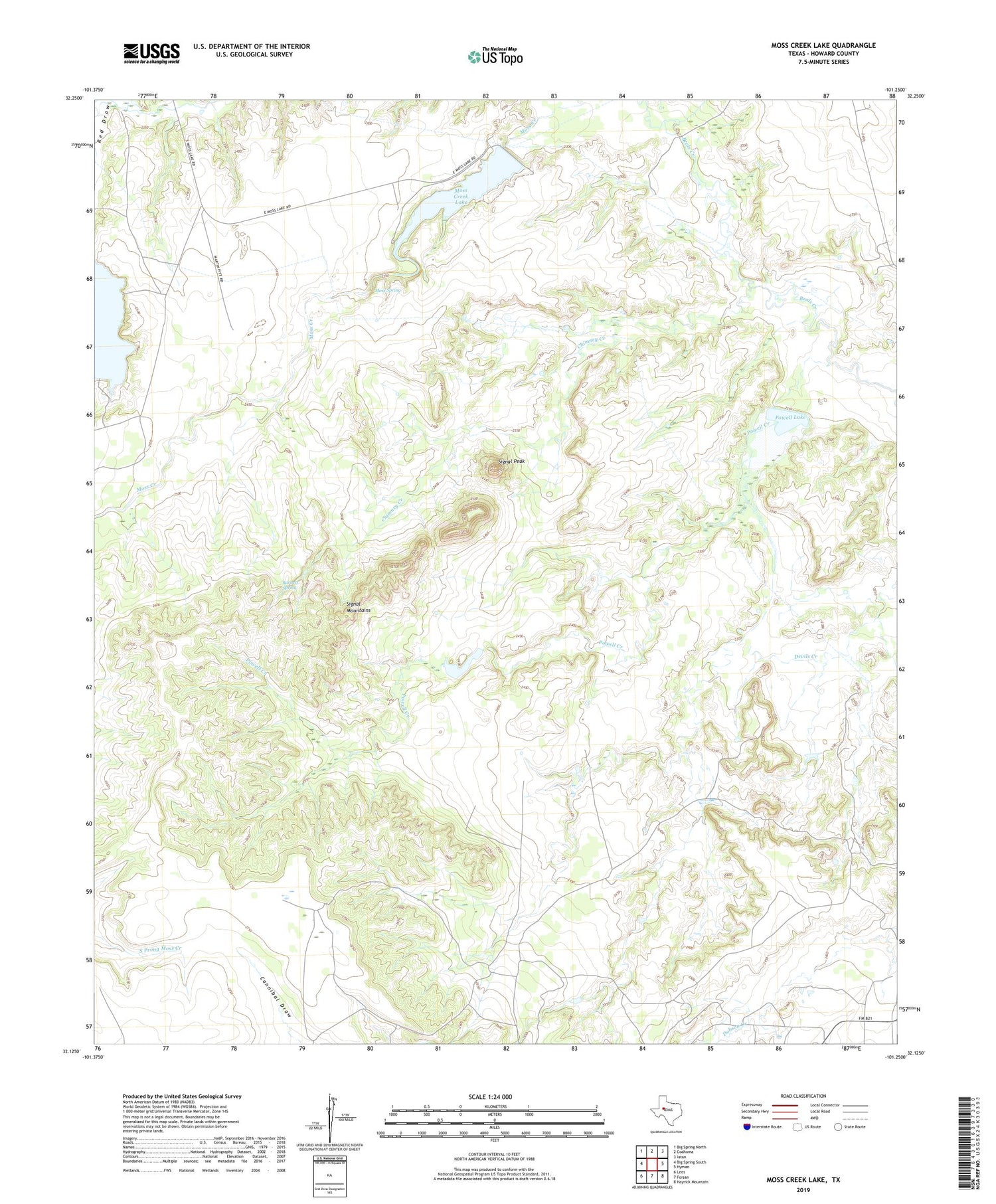
2019 topographic map quadrangle Moss Creek Lake in the state of Texas. Scale: 1:24000. Based on the newly updated USGS 7.5' US Topo map series, this map is in the following counties: Howard. The map contains contour data, water features, and other items you are used to seeing on USGS maps, but also has updated roads and other features. This is the next generation of topographic maps. Printed on high-quality waterproof paper with UV fade-resistant inks.
Quads adjacent to this one:
West: Big Spring South
Northwest: Big Spring North
North: Coahoma
Northeast: Iatan
East: Hyman
Southeast: Hayrick Mountain
South: Forsan
Southwest: Lees
Contains the following named places: Barnett Spring, Chimney Creek, Garrett Lake, Garrett Lake Dam, Moss Creek Lake, Moss Creek Lake Dam, Moss Spring, Otis Chalk, Powell Creek, Powell Lake, Powell Lake Dam, Red Draw, Signal Mountains, Signal Peak


