MyTopo
Big Spring North Texas US Topo Map
Couldn't load pickup availability
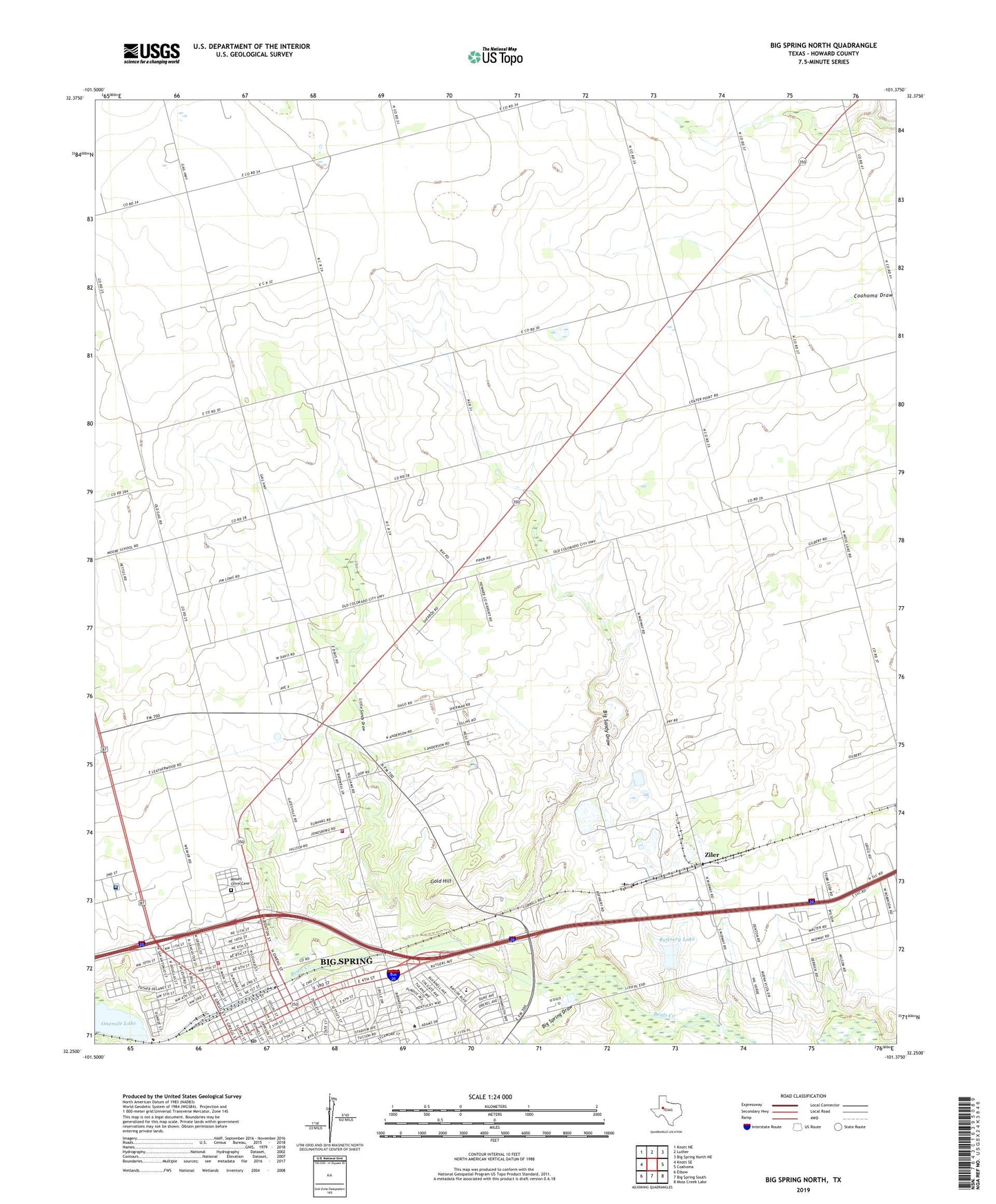
2022 topographic map quadrangle Big Spring North in the state of Texas. Scale: 1:24000. Based on the newly updated USGS 7.5' US Topo map series, this map is in the following counties: Howard. The map contains contour data, water features, and other items you are used to seeing on USGS maps, but also has updated roads and other features. This is the next generation of topographic maps. Printed on high-quality waterproof paper with UV fade-resistant inks.
Quads adjacent to this one:
West: Knott SE
Northwest: Knott NE
North: Luther
Northeast: Big Spring North NE
East: Coahoma
Southeast: Moss Creek Lake
South: Big Spring South
Southwest: Elbow
This map covers the same area as the classic USGS quad with code o32101c4.
Contains the following named places: Bakers Chapel African Methodist Episcopal Church, Bauer Elementary School, Baur School, Big Sandy Draw, Big Spring, Big Spring Alternative School, Big Spring City Hall, Big Spring Draw, Big Spring Fire Department Station 4, Big Spring Junior High School, Big Spring Oil Field, Big Spring Post Office, Big Spring State Hospital, Big Spring State Hospital Cemetery, College Park Church of God, First Mexican Baptist Church, Gold Hill, Goliad Middle School, Howard College, Howard County, Howard County Volunteer Fire Department Jonesboro, KBST-AM (Big Spring), KWAB-TV (Big Spring), KWKI-AM (Big Spring), Lakeview School, Little Sandy Draw, McGee Chapel Church of God in Christ, Morrison School, Moss Elementary School, Mount Olive Cemetery, Northside Baptist Church, Onemile Lake, Potton-Hayden House, Power House Church of God in Christ, Refinery Dam, Refinery Lake, Ritz Theater, Saint Paul Church, State Theater, Ziler, ZIP Code: 79720