MyTopo
Forsan Texas US Topo Map
Couldn't load pickup availability
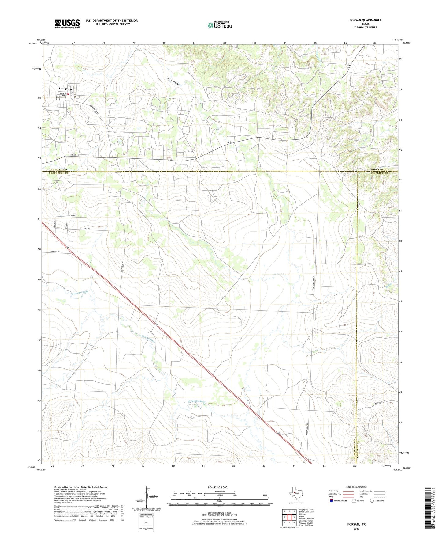
2022 topographic map quadrangle Forsan in the state of Texas. Scale: 1:24000. Based on the newly updated USGS 7.5' US Topo map series, this map is in the following counties: Glasscock, Howard, Sterling. The map contains contour data, water features, and other items you are used to seeing on USGS maps, but also has updated roads and other features. This is the next generation of topographic maps. Printed on high-quality waterproof paper with UV fade-resistant inks.
Quads adjacent to this one:
West: Lees
Northwest: Big Spring South
North: Moss Creek Lake
Northeast: Hyman
East: Hayrick Mountain
Southeast: Sand Bluff Draw
South: Garden City NE
Southwest: Ballinger Ranch
This map covers the same area as the classic USGS quad with code o32101a3.
Contains the following named places: Cannibal Draw, City of Forsan, Forsan, Forsan City Hall, Forsan Junior and Senior High School, Forsan Post Office, Howard County Volunteer Fire Department Forsan, Howard Glasscock Oil Field, Ross City, ZIP Code: 79733