
MyTopo
Mulos Hills Texas US Topo Map
Couldn't load pickup availability
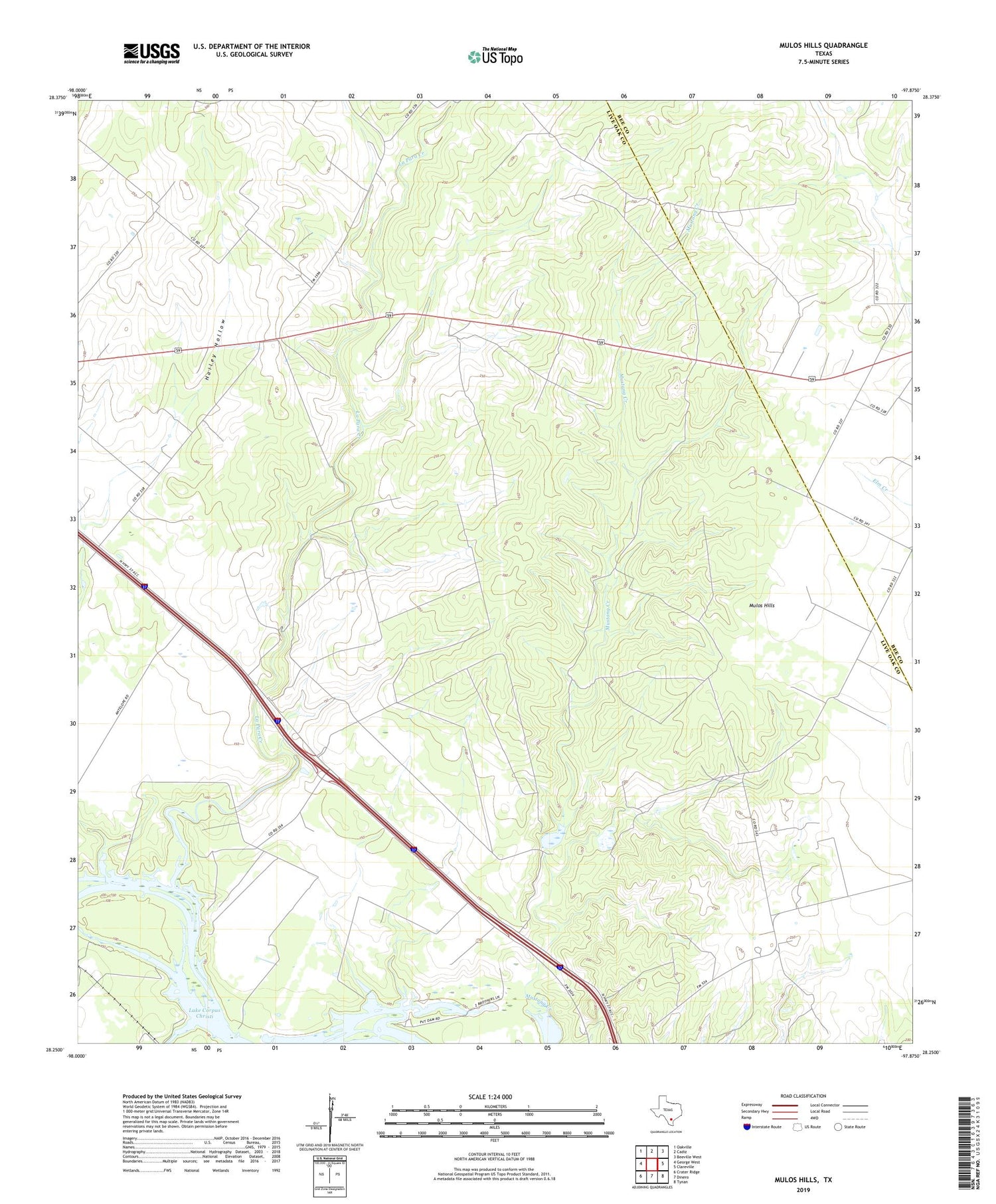
2019 topographic map quadrangle Mulos Hills in the state of Texas. Scale: 1:24000. Based on the newly updated USGS 7.5' US Topo map series, this map is in the following counties: Live Oak, Bee. The map contains contour data, water features, and other items you are used to seeing on USGS maps, but also has updated roads and other features. This is the next generation of topographic maps. Printed on high-quality waterproof paper with UV fade-resistant inks.
Quads adjacent to this one:
West: George West
Northwest: Oakville
North: Cadiz
Northeast: Beeville West
East: Clareville
Southeast: Tynan
South: Dinero
Southwest: Crater Ridge
Contains the following named places: La Para, La Para Creek, Mulos Hills, Mulos Hills Ranch, Mustang Creek


