MyTopo
Myrtle Springs Texas US Topo Map
Couldn't load pickup availability
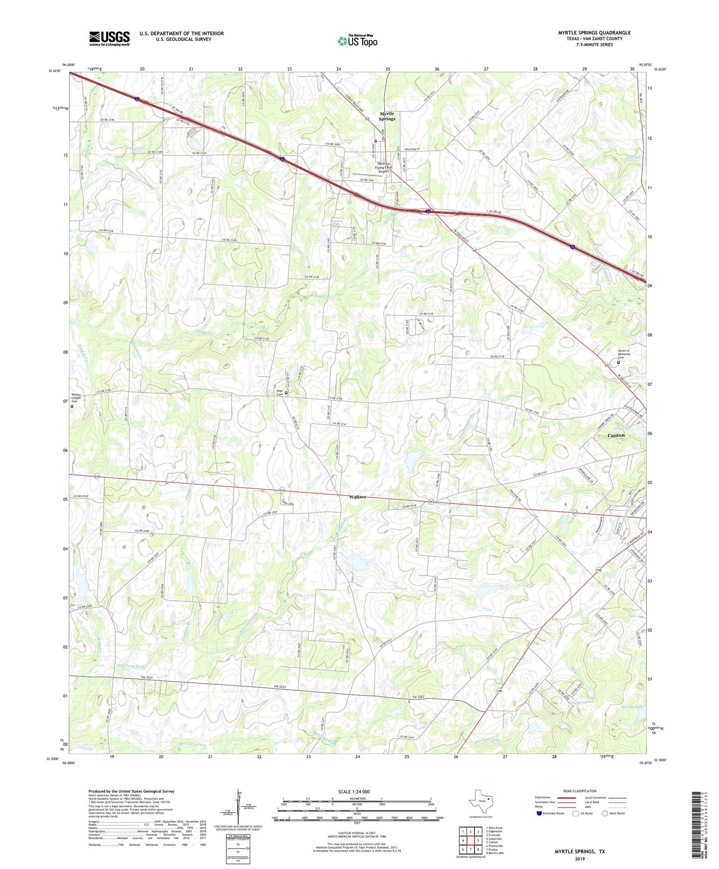
2019 topographic map quadrangle Myrtle Springs in the state of Texas. Scale: 1:24000. Based on the newly updated USGS 7.5' US Topo map series, this map is in the following counties: Van Zandt. The map contains contour data, water features, and other items you are used to seeing on USGS maps, but also has updated roads and other features. This is the next generation of topographic maps. Printed on high-quality waterproof paper with UV fade-resistant inks.
Quads adjacent to this one:
West: Cedarvale
Northwest: Wills Point
North: Edgewood
Northeast: Fruitvale
East: Canton
Southeast: Martins Mill
South: Phalba
Southwest: Prairieville
Contains the following named places: Andy Branch, Britton Creek, Buck Branch, Camp Branch, Canton Division, Canton High School, Coppers Branch, Cotton Lake, Cotton Lake Dam, Dawson Creek, Dennis's Flying Farm Airport, Haven of Memories Memorial Park, Hayden Church, High, High Cemetery, Lipsey Lake, Lipsey Lake Dam, Myrtle Springs, Myrtle Springs Census Designated Place, Myrtle Springs Volunteer Fire Department, Rats Branch, Riley Spring, Saint Justins Episcopal Church, Soil Conservation Service Site 123 Dam, Soil Conservation Service Site 123 Reservoir, Soil Conservation Service Site 124 Dam, Soil Conservation Service Site 124 Reservoir, Soil Conservation Service Site 126 Dam, Soil Conservation Service Site 126 Reservoir, Soil Conservation Service Site 127 Dam, Soil Conservation Service Site 127 Reservoir, Spring Lake, Teel Church, Wallace, Wesley Chapel Cemetery, ZIP Code: 75103