MyTopo
Olton Texas US Topo Map
Couldn't load pickup availability
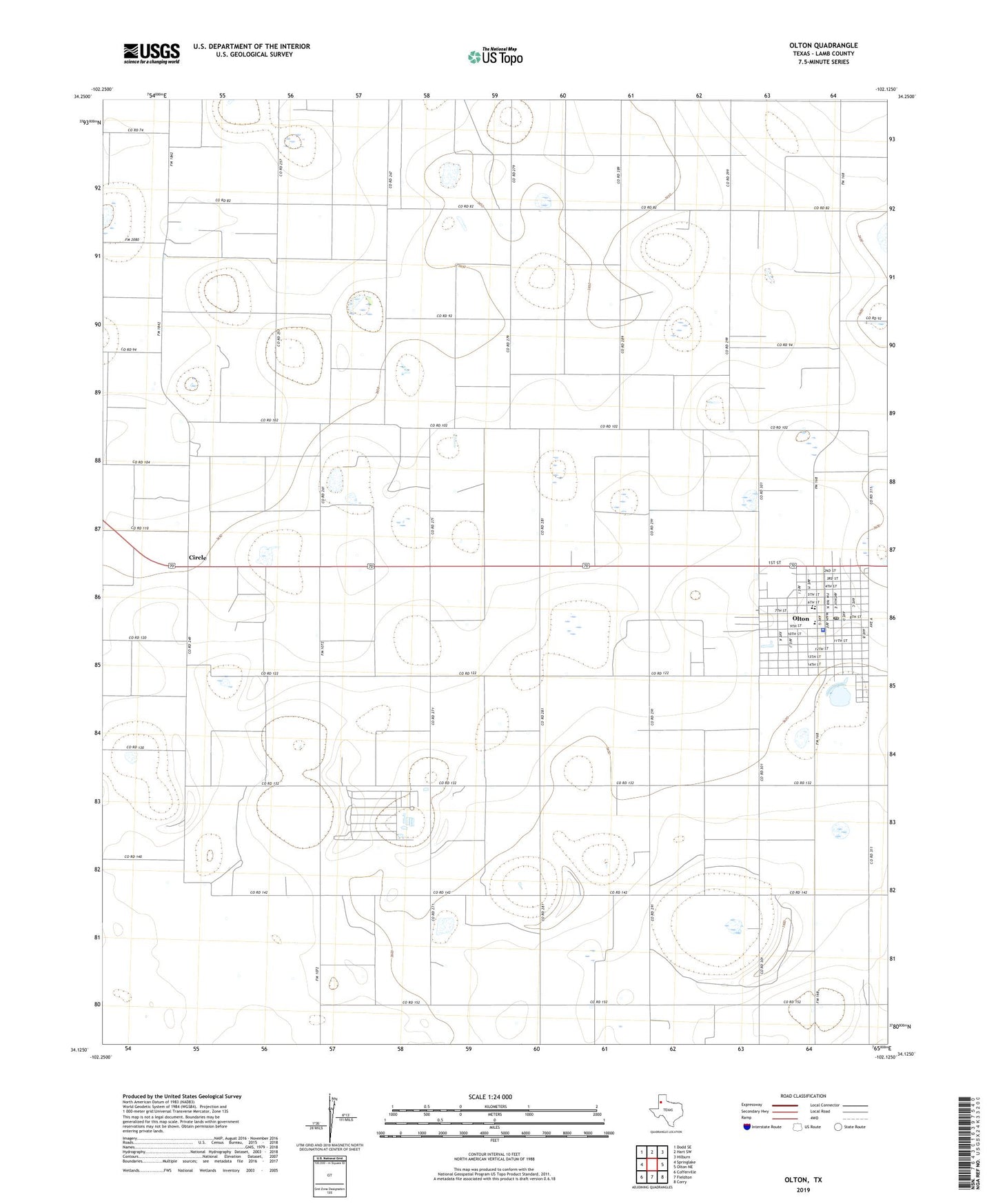
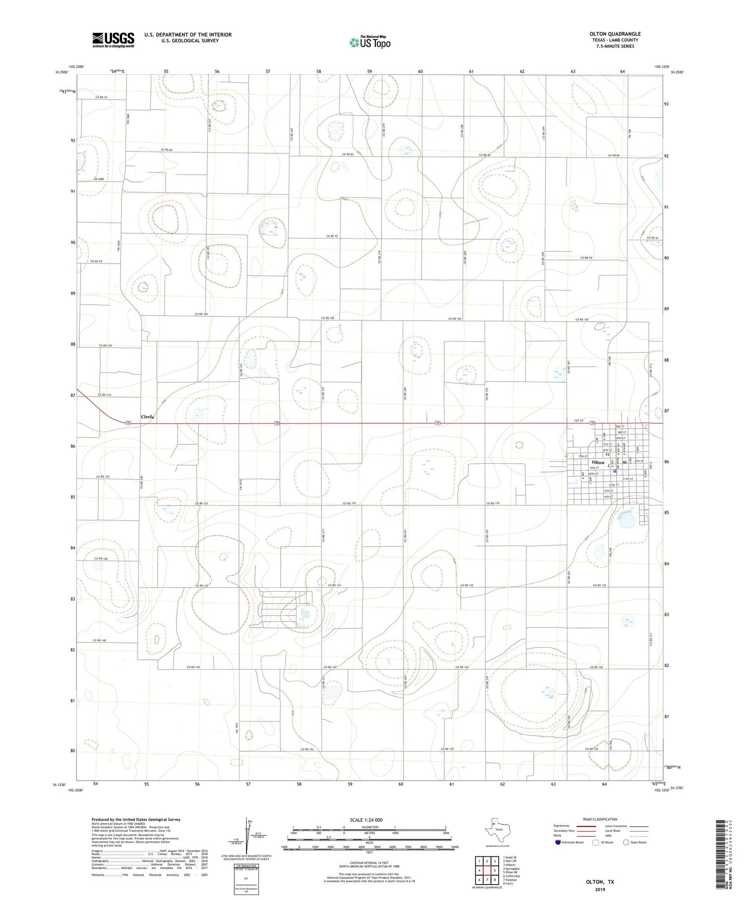
2019 topographic map quadrangle Olton in the state of Texas. Scale: 1:24000. Based on the newly updated USGS 7.5' US Topo map series, this map is in the following counties: Lamb. The map contains contour data, water features, and other items you are used to seeing on USGS maps, but also has updated roads and other features. This is the next generation of topographic maps. Printed on high-quality waterproof paper with UV fade-resistant inks.
Quads adjacent to this one:
West: Springlake
Northwest: Dodd SE
North: Hart SW
Northeast: Hilburn
East: Olton NE
Southeast: Corry
South: Fieldton
Southwest: Cofferville
Contains the following named places: Circle, City of Olton, Cross Roads Learning Center, Del-Tex Airport, Olton, Olton City Hall, Olton Country Club, Olton Division, Olton High School, Olton Junior High School, Olton Police Department, Olton Post Office, Olton Volunteer Ambulance Association, Webb Elementary School