MyTopo
Fieldton Texas US Topo Map
Couldn't load pickup availability
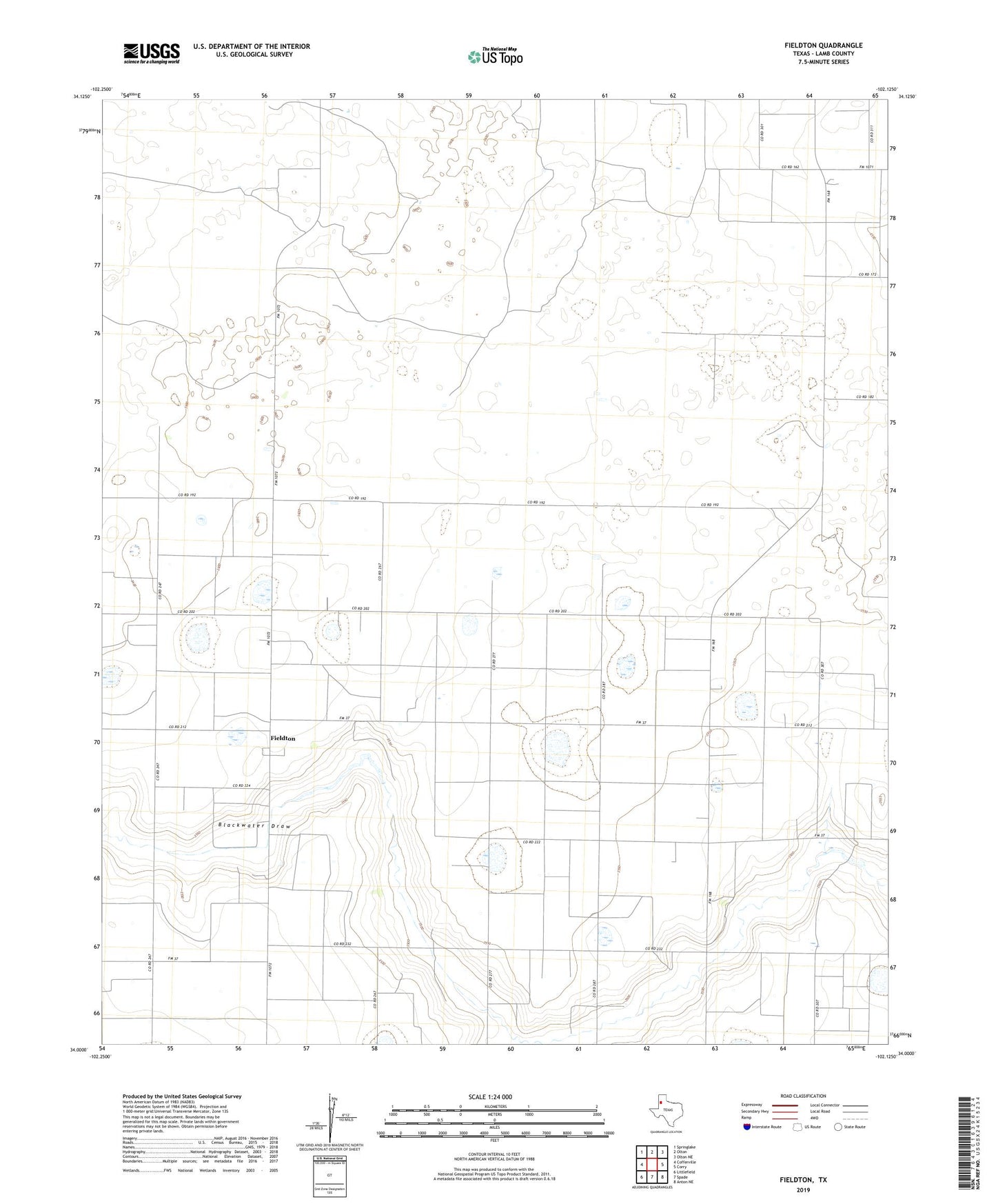
2022 topographic map quadrangle Fieldton in the state of Texas. Scale: 1:24000. Based on the newly updated USGS 7.5' US Topo map series, this map is in the following counties: Lamb. The map contains contour data, water features, and other items you are used to seeing on USGS maps, but also has updated roads and other features. This is the next generation of topographic maps. Printed on high-quality waterproof paper with UV fade-resistant inks.
Quads adjacent to this one:
West: Cofferville
Northwest: Springlake
North: Olton
Northeast: Olton NE
East: Corry
Southeast: Anton NE
South: Spade
Southwest: Littlefield
This map covers the same area as the classic USGS quad with code o34102a2.
Contains the following named places: Fieldton, Hart Camp, Rose Ranch Airport, ZIP Code: 79326