MyTopo
Padgett Texas US Topo Map
Couldn't load pickup availability
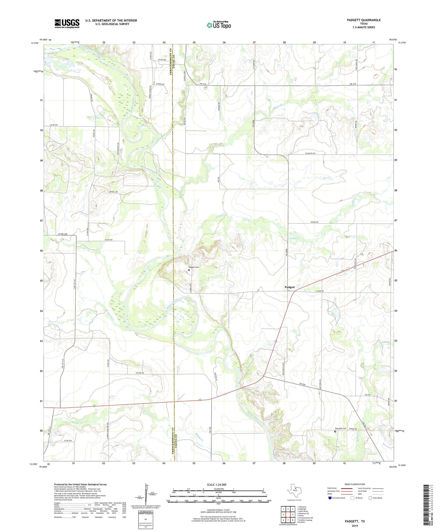
2019 topographic map quadrangle Padgett in the state of Texas. Scale: 1:24000. Based on the newly updated USGS 7.5' US Topo map series, this map is in the following counties: Young, Throckmorton. The map contains contour data, water features, and other items you are used to seeing on USGS maps, but also has updated roads and other features. This is the next generation of topographic maps. Printed on high-quality waterproof paper with UV fade-resistant inks.
Quads adjacent to this one:
West: Westover SE
Northwest: Westover
North: Megargel
Northeast: Lake Olney
East: Olney
Southeast: Proffitt
South: Proffitt Crossing
Southwest: Throckmorton NE
Contains the following named places: Bitter Creek, Bob D Bailes Airport, Camp Creek, Elbert, Leopard Creek, Padgett, Padgett Cemetery, Reynolds Cemetery, Spring Creek, Watson Creek, ZIP Code: 76372