MyTopo
Olney Texas US Topo Map
Couldn't load pickup availability
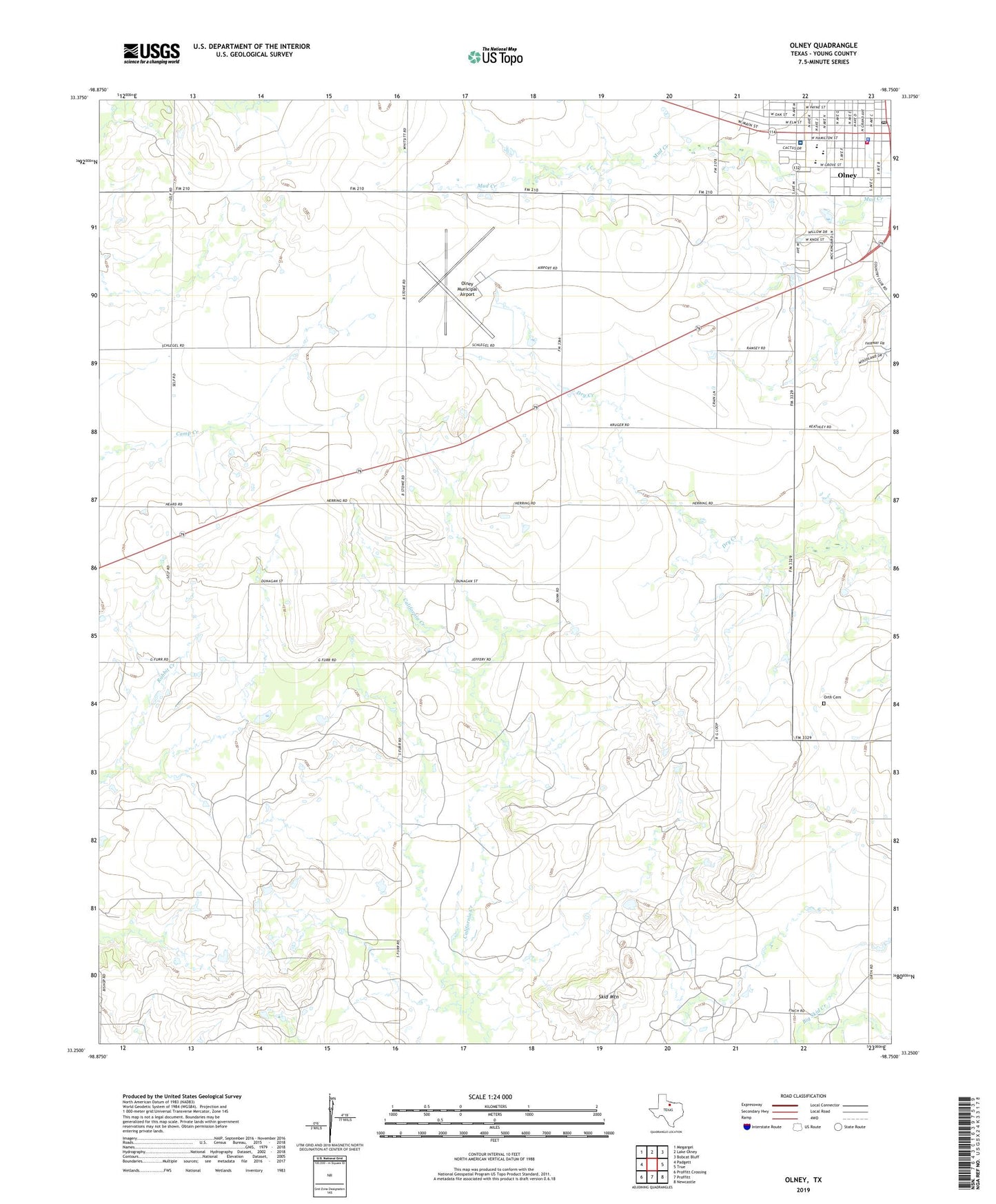
2022 topographic map quadrangle Olney in the state of Texas. Scale: 1:24000. Based on the newly updated USGS 7.5' US Topo map series, this map is in the following counties: Young. The map contains contour data, water features, and other items you are used to seeing on USGS maps, but also has updated roads and other features. This is the next generation of topographic maps. Printed on high-quality waterproof paper with UV fade-resistant inks.
Quads adjacent to this one:
West: Padgett
Northwest: Megargel
North: Lake Olney
Northeast: Bobcat Bluff
East: TRUE
Southeast: Newcastle
South: Proffitt
Southwest: Proffitt Crossing
This map covers the same area as the classic USGS quad with code o33098c7.
Contains the following named places: Church of Christ, Church of God, City of Olney, Cumberland Presbyterian Church, Griffin Park, Larimore Oil Field, Olney, Olney Assembly Church, Olney Division, Olney Elementary School, Olney Fire Department, Olney Hamilton Hospital, Olney High School, Olney Junior High School, Olney Municipal Airport, Olney Municipal Building, Olney Police Department, Olney Post Office, Orth Cemetery, Saint Luke Lutheran Church, Skid Mountain