MyTopo
Pawnee Texas US Topo Map
Couldn't load pickup availability
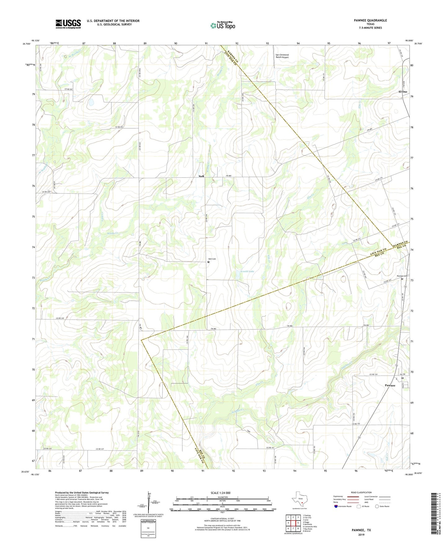
2019 topographic map quadrangle Pawnee in the state of Texas. Scale: 1:24000. Based on the newly updated USGS 7.5' US Topo map series, this map is in the following counties: Live Oak, Bee, Karnes. The map contains contour data, water features, and other items you are used to seeing on USGS maps, but also has updated roads and other features. This is the next generation of topographic maps. Printed on high-quality waterproof paper with UV fade-resistant inks.
Quads adjacent to this one:
West: Peggy
Northwest: Fashing
North: Coy City
Northeast: Lenz
East: Monteola
Southeast: Mineral
South: Ray Point
Southwest: Comanche Hills
Contains the following named places: Arnold Lake, Arnold Lake Dam, El Oso, Elm Creek, Little Creek, Nell, Nell Cemetery, Pawnee, Pawnee Cemetery, Pawnee Census Designated Place, Pawnee Post Office, San Christoval Ranch Airport