MyTopo
Ray Point Texas US Topo Map
Couldn't load pickup availability
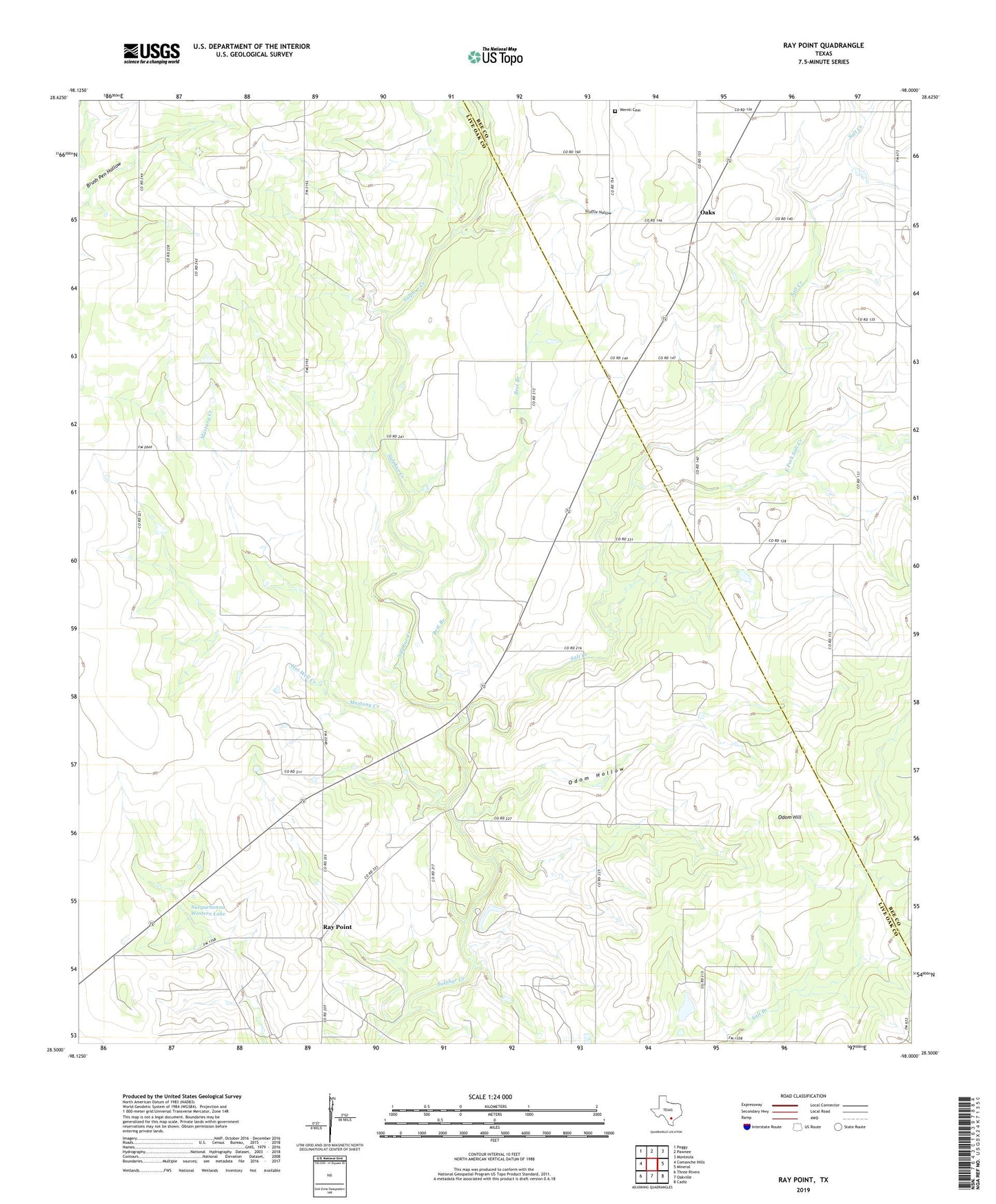
2022 topographic map quadrangle Ray Point in the state of Texas. Scale: 1:24000. Based on the newly updated USGS 7.5' US Topo map series, this map is in the following counties: Live Oak, Bee. The map contains contour data, water features, and other items you are used to seeing on USGS maps, but also has updated roads and other features. This is the next generation of topographic maps. Printed on high-quality waterproof paper with UV fade-resistant inks.
Quads adjacent to this one:
West: Comanche Hills
Northwest: Peggy
North: Pawnee
Northeast: Monteola
East: Mineral
Southeast: Cadiz
South: Oakville
Southwest: Three Rivers
This map covers the same area as the classic USGS quad with code o28098e1.
Contains the following named places: Best Branch, East Fork Salt Creek, Hot Well Creek, Mustang Creek, Oaks, Odom Hill, Odom Hollow, Ray Point, Salt Creek, Scuffle Hollow, Sulphur Tank, Susquehanna Western Lake, Susquehanna Western Lake Dam, Wernli Cemetery