MyTopo
Pecan Crossing Texas US Topo Map
Couldn't load pickup availability
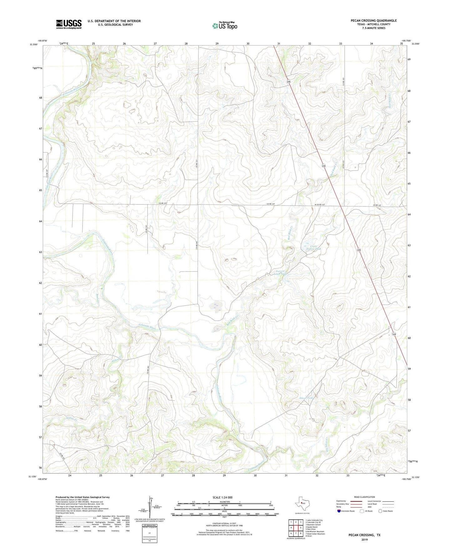
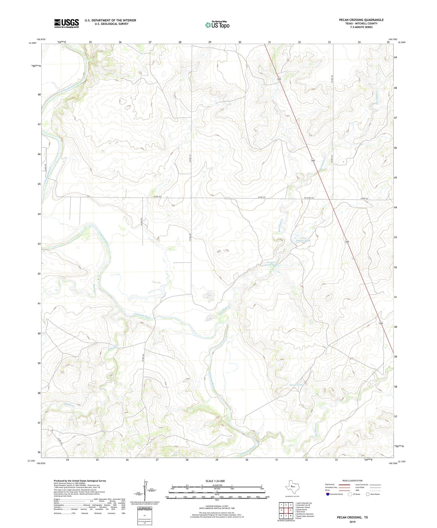
2019 topographic map quadrangle Pecan Crossing in the state of Texas. Scale: 1:24000. Based on the newly updated USGS 7.5' US Topo map series, this map is in the following counties: Mitchell. The map contains contour data, water features, and other items you are used to seeing on USGS maps, but also has updated roads and other features. This is the next generation of topographic maps. Printed on high-quality waterproof paper with UV fade-resistant inks.
Quads adjacent to this one:
West: Spade Ranch
Northwest: Lake Colorado City
North: Colorado City SE
Northeast: Baumann School
East: Dam Draw
Southeast: Silver
South: Dead Indian Mountain
Southwest: McWhorter Mountain
Contains the following named places: Beals Creek, Big Silver Creek, Crane Hollow Tank, Forrest Lowe Tank, Lowe, Pecan Crossing, Red Bank Creek, Silver Tank, Spade Ranch Crane Hollow Tank Dam, Walnut Creek, Willow Creek