MyTopo
Pontotoc Texas US Topo Map
Couldn't load pickup availability
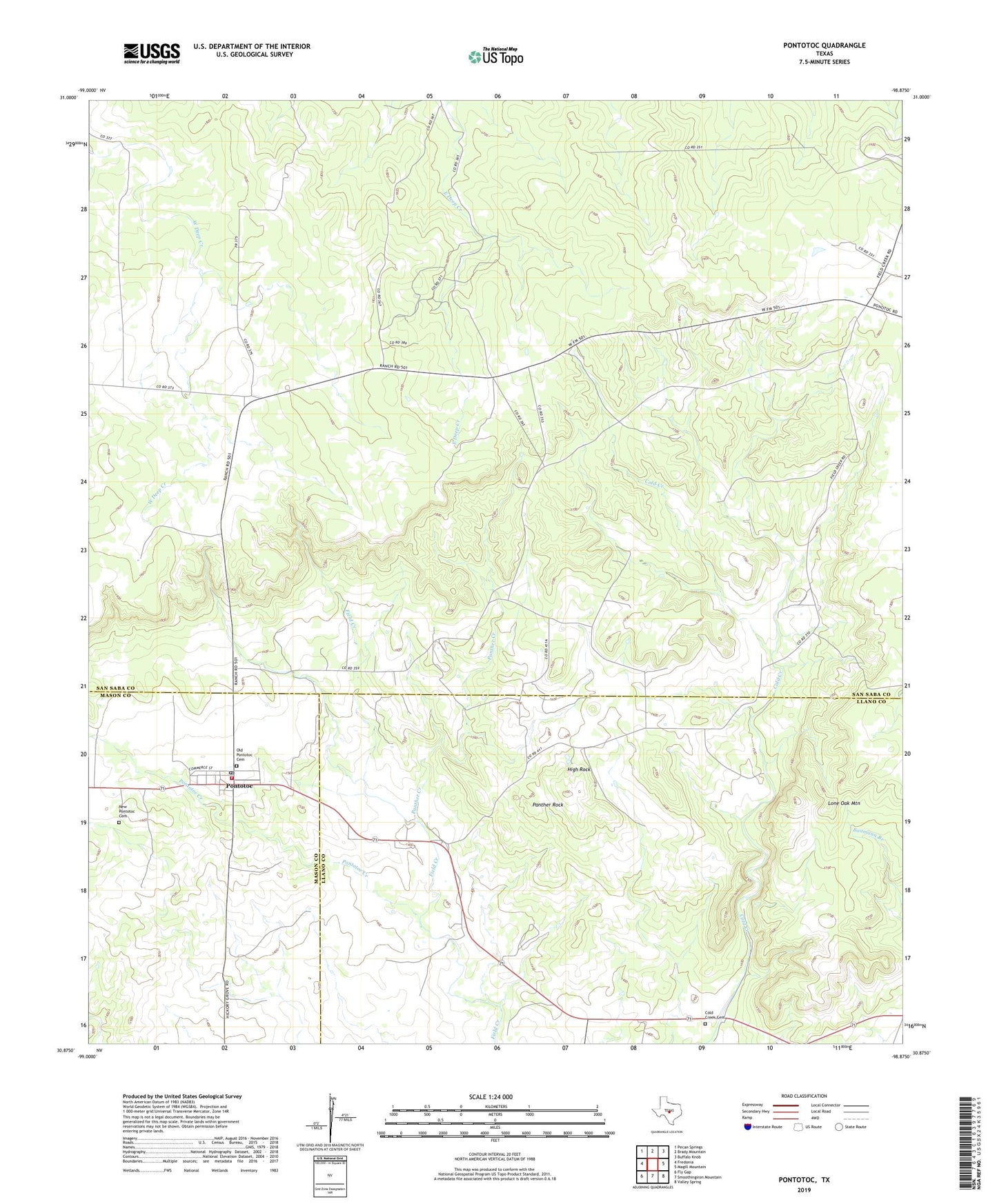
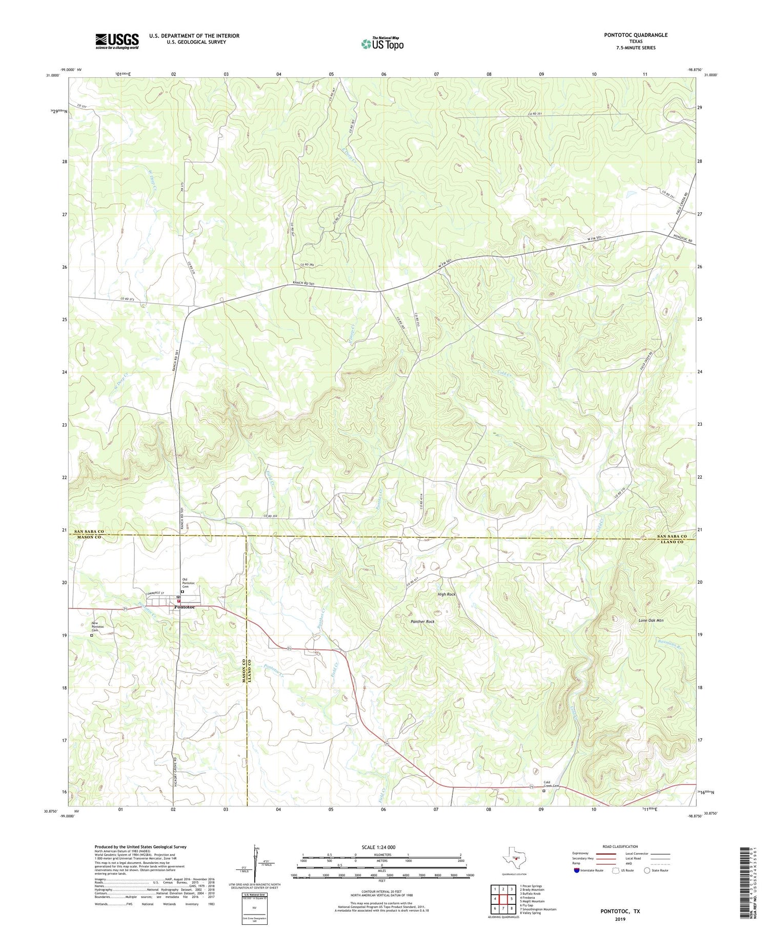
2019 topographic map quadrangle Pontotoc in the state of Texas. Scale: 1:24000. Based on the newly updated USGS 7.5' US Topo map series, this map is in the following counties: San Saba, Llano, Mason. The map contains contour data, water features, and other items you are used to seeing on USGS maps, but also has updated roads and other features. This is the next generation of topographic maps. Printed on high-quality waterproof paper with UV fade-resistant inks.
Quads adjacent to this one:
West: Fredonia
Northwest: Pecan Springs
North: Brady Mountain
Northeast: Buffalo Knob
East: Magill Mountain
Southeast: Valley Spring
South: Smoothingiron Mountain
Southwest: Fly Gap
Contains the following named places: Bush Windmill, Cold Creek Cemetery, East Murray Windmill, Field Creek, High Rock, Hutchinson School, Jenkins Windmill, Lone Oak Mountain, Mining House Windmill, New Pontotoc Cemetery, Nine-Bar Ranch, Old Pontotoc Cemetery, Panther Creek, Panther Rock, Pontotoc, Pontotoc Creek, Pontotoc Post Office, Pontotoc Ranch Volunteer Fire Department, Taylor Ranch, ZIP Code: 76869