MyTopo
Proctor Ranch Texas US Topo Map
Couldn't load pickup availability
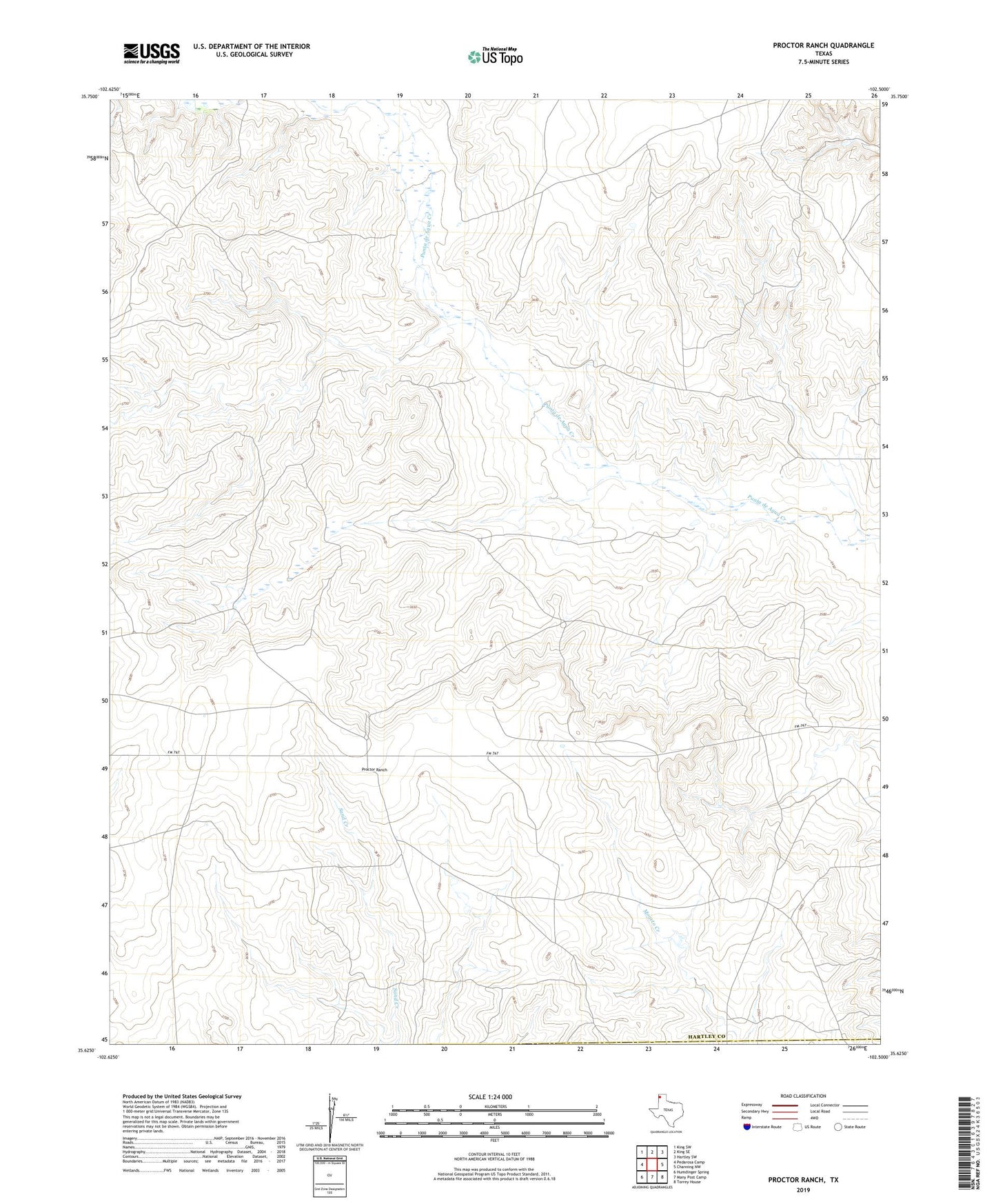
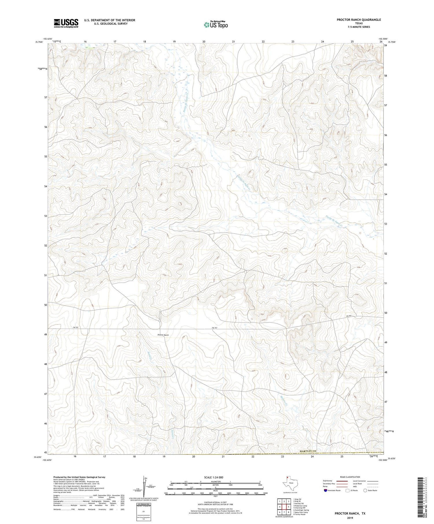
2019 topographic map quadrangle Proctor Ranch in the state of Texas. Scale: 1:24000. Based on the newly updated USGS 7.5' US Topo map series, this map is in the following counties: Hartley, Oldham. The map contains contour data, water features, and other items you are used to seeing on USGS maps, but also has updated roads and other features. This is the next generation of topographic maps. Printed on high-quality waterproof paper with UV fade-resistant inks.
Quads adjacent to this one:
West: Pedarosa Camp
Northwest: King SW
North: King SE
Northeast: Hartley SW
East: Channing NW
Southeast: Torrey House
South: Many Post Camp
Southwest: Humdinger Spring
Contains the following named places: Camp Windmill, Cow Pasture Windmill, Cruz Windmill, High Windmill, Low Draw Windmill, Oil Well Windmill, Ortiz Windmill, Pen Windmill, Proctor Ranch, Ridge Windmill, River Windmill, Sand Windmill, Wallace Windmill