MyTopo
Many Post Camp Texas US Topo Map
Couldn't load pickup availability
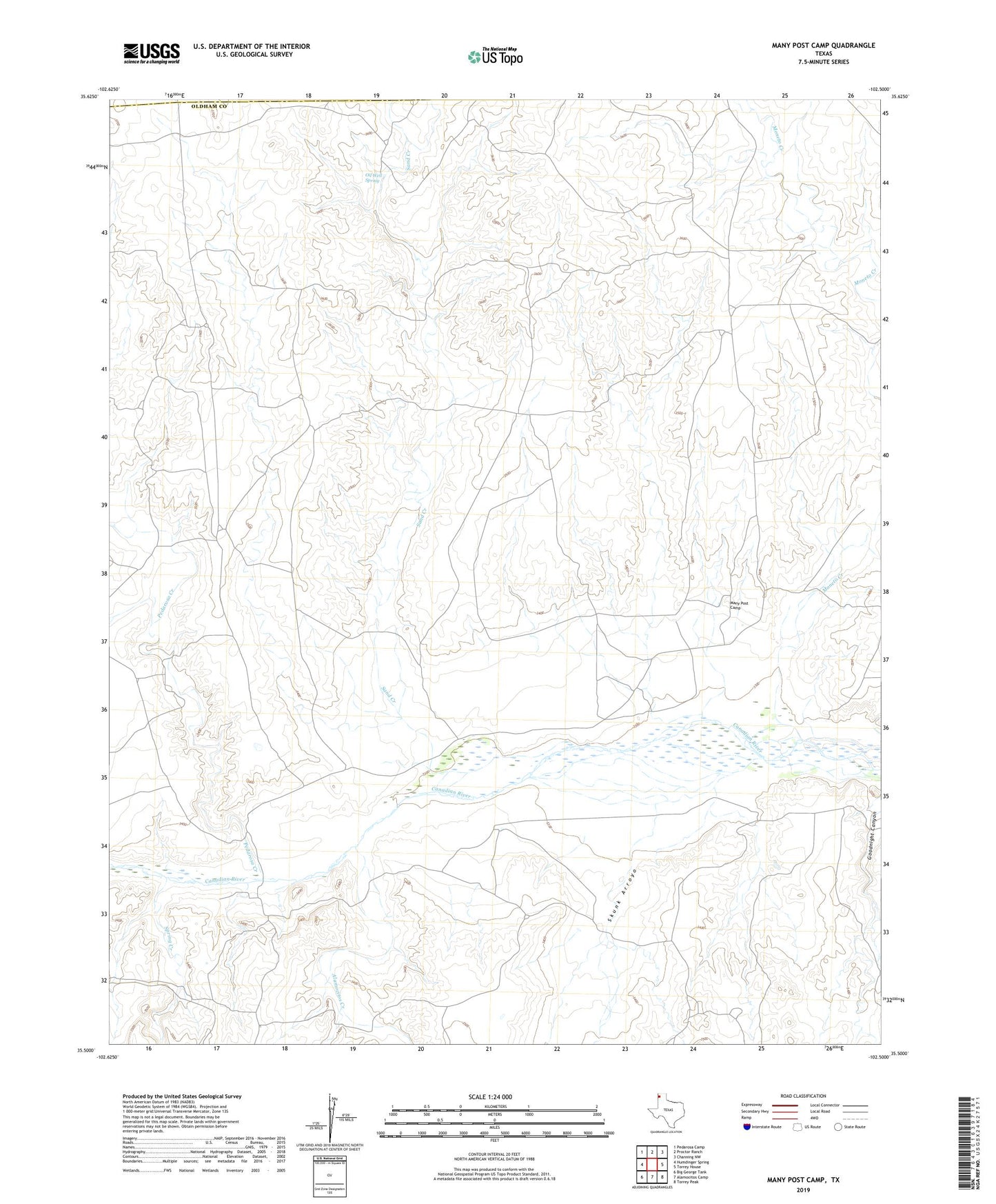
2022 topographic map quadrangle Many Post Camp in the state of Texas. Scale: 1:24000. Based on the newly updated USGS 7.5' US Topo map series, this map is in the following counties: Oldham, Hartley. The map contains contour data, water features, and other items you are used to seeing on USGS maps, but also has updated roads and other features. This is the next generation of topographic maps. Printed on high-quality waterproof paper with UV fade-resistant inks.
Quads adjacent to this one:
West: Humdinger Spring
Northwest: Pedarosa Camp
North: Proctor Ranch
Northeast: Channing NW
East: Torrey House
Southeast: Torrey Peak
South: Alamocitos Camp
Southwest: Big George Tank
This map covers the same area as the classic USGS quad with code o35102e5.
Contains the following named places: Alamocitos Creek, Alamocitos Creek Windmill, Alamocitos Windmill, Bolen Windmill, East Pedarosa Windmill, Knob Hill Windmill, Knowles Windmill, Many Post Camp, Moneto Creek, Muncy Windmill, Muscatel Windmill, New Farm Windmill, North Weaning Windmill, Oil Well Spring, Old Farm Camp, Old Farm Crossing, Pedarosa Creek, Pedarosa Pens Windmill, River Windmill, Sand Creek, Sand Creek Windmill, Scab Windmill, Skunk Arroyo, Skunk Arroyo Windmill, South Camp Windmill, Spring Creek, Spring Creek Windmill, Three Post Windmill