MyTopo
Reininger Draw Texas US Topo Map
Couldn't load pickup availability
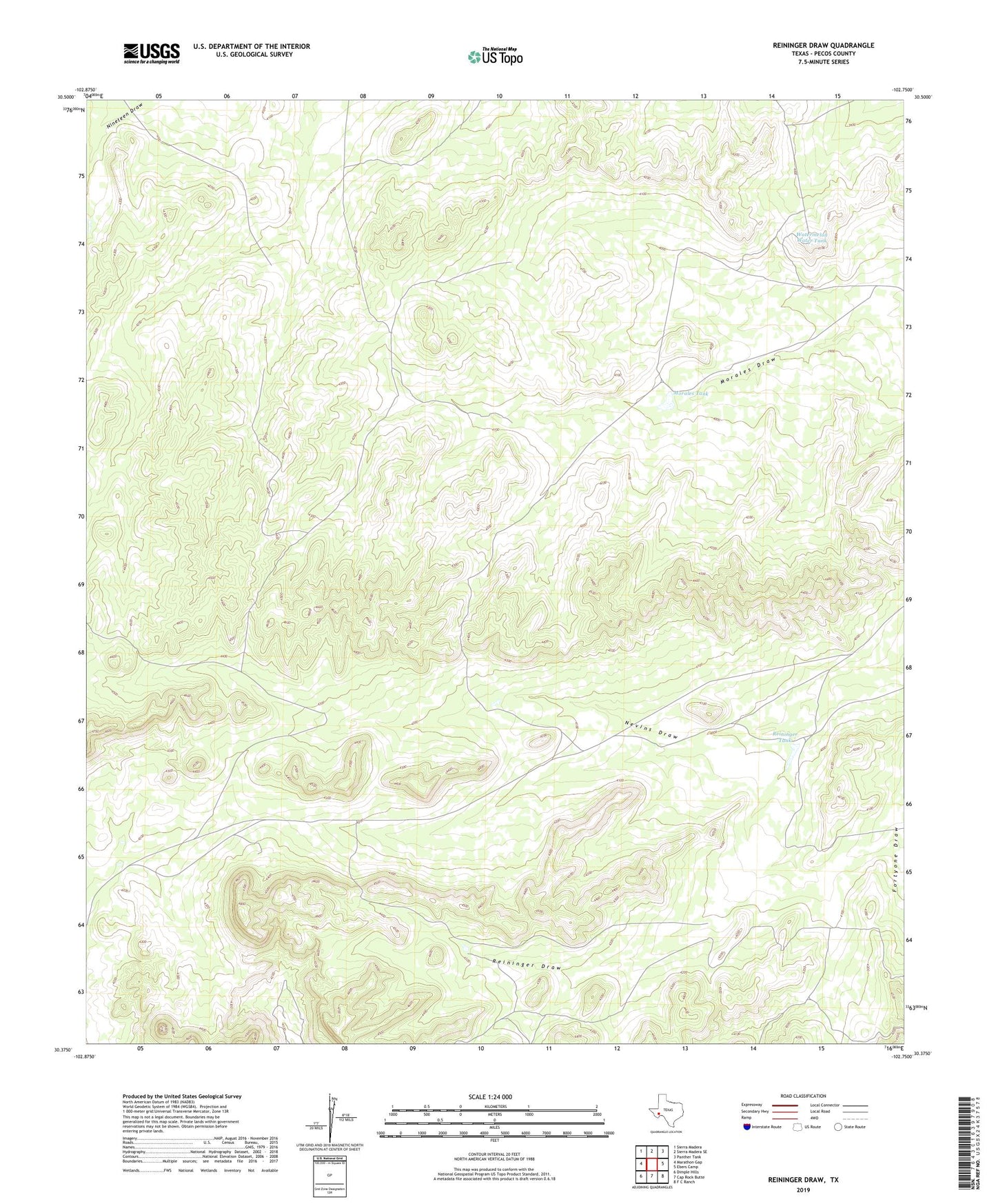
2019 topographic map quadrangle Reininger Draw in the state of Texas. Scale: 1:24000. Based on the newly updated USGS 7.5' US Topo map series, this map is in the following counties: Pecos. The map contains contour data, water features, and other items you are used to seeing on USGS maps, but also has updated roads and other features. This is the next generation of topographic maps. Printed on high-quality waterproof paper with UV fade-resistant inks.
Quads adjacent to this one:
West: Marathon Gap
Northwest: Sierra Madera
North: Sierra Madera SE
Northeast: Panther Tank
East: Ebers Camp
Southeast: F C Ranch
South: Cap Rock Butte
Southwest: Dimple Hills
Contains the following named places: Morales Tank, Nevins Windmills, Reininger Draw, Reininger Tank, Reininger Tank Windmill, Roark Water Tank, Roark Windmill, Watermelon Water Tank