MyTopo
Cap Rock Butte Texas US Topo Map
Couldn't load pickup availability
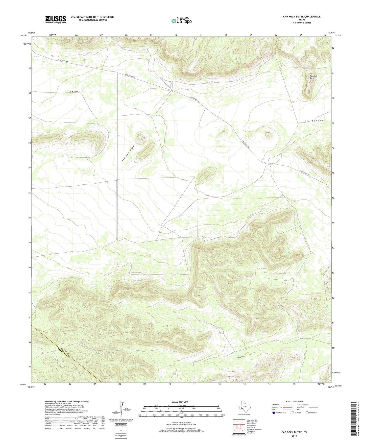
2022 topographic map quadrangle Cap Rock Butte in the state of Texas. Scale: 1:24000. Based on the newly updated USGS 7.5' US Topo map series, this map is in the following counties: Pecos, Brewster. The map contains contour data, water features, and other items you are used to seeing on USGS maps, but also has updated roads and other features. This is the next generation of topographic maps. Printed on high-quality waterproof paper with UV fade-resistant inks.
Quads adjacent to this one:
West: Dimple Hills
Northwest: Marathon Gap
North: Reininger Draw
Northeast: Ebers Camp
East: F C Ranch
Southeast: Longfellow
South: Tesnus NE
Southwest: Housetop Mountains
This map covers the same area as the classic USGS quad with code o30102c7.
Contains the following named places: Cap Rock Butte, Red Mill Draw, Red Windmill, Skevington Ranch