MyTopo
Rudd Draw NE Texas US Topo Map
Couldn't load pickup availability
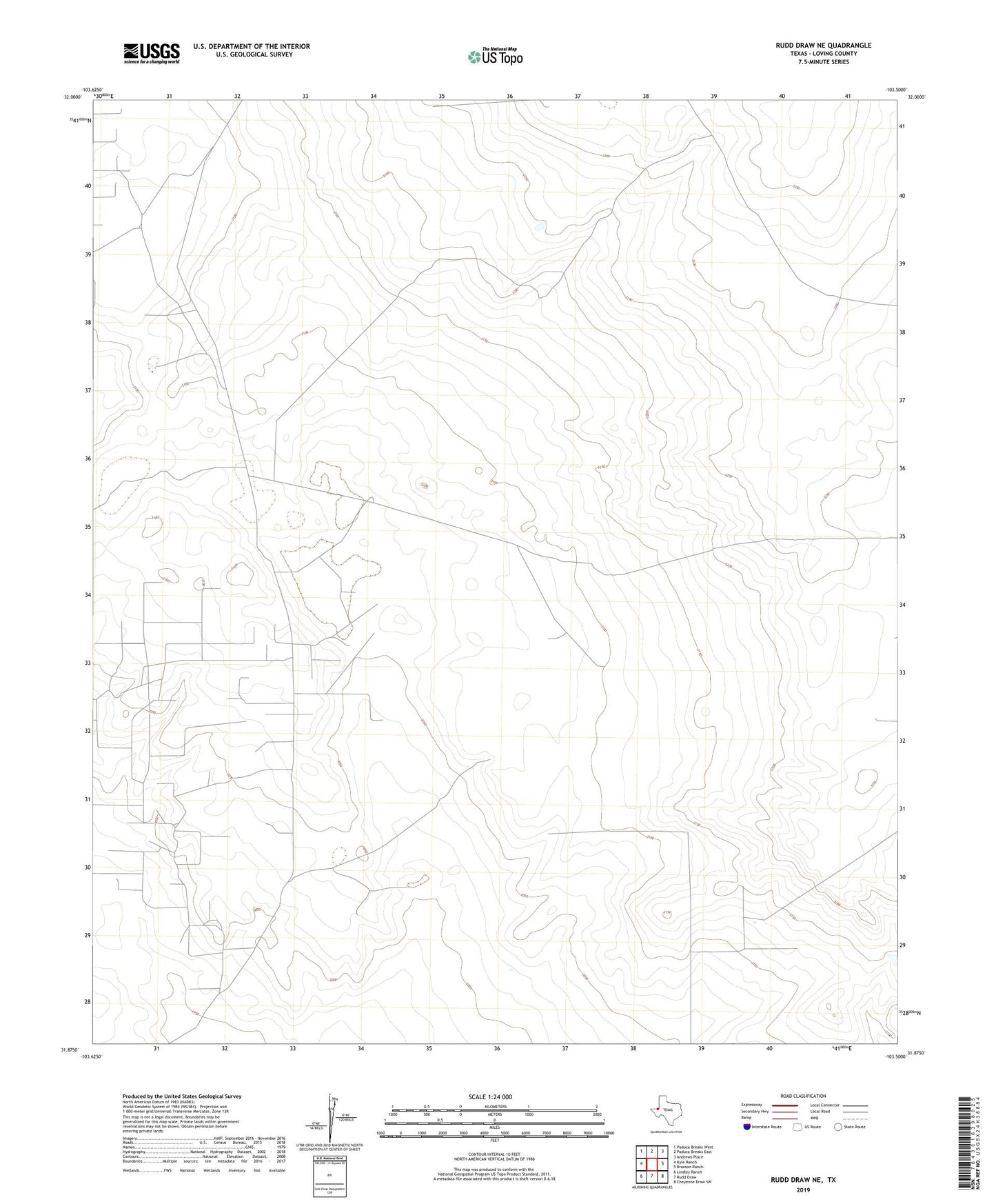
2019 topographic map quadrangle Rudd Draw NE in the state of Texas. Scale: 1:24000. Based on the newly updated USGS 7.5' US Topo map series, this map is in the following counties: Loving. The map contains contour data, water features, and other items you are used to seeing on USGS maps, but also has updated roads and other features. This is the next generation of topographic maps. Printed on high-quality waterproof paper with UV fade-resistant inks.
Quads adjacent to this one:
West: Kyle Ranch
Northwest: Paduca Breaks West
North: Paduca Breaks East
Northeast: Andrews Place
East: Brunson Ranch
Southeast: Cheyenne Draw SW
South: Rudd Draw
Southwest: Lindley Ranch
Contains the following named places: Big Boy Well, Bryant Wells, Chapman Well, East Well, Grice Oil Field, Malone Well, Miller Wells, Tarbottom Well, White Elephant Tank, Wilkie Well