MyTopo
Rudd Draw Texas US Topo Map
Couldn't load pickup availability
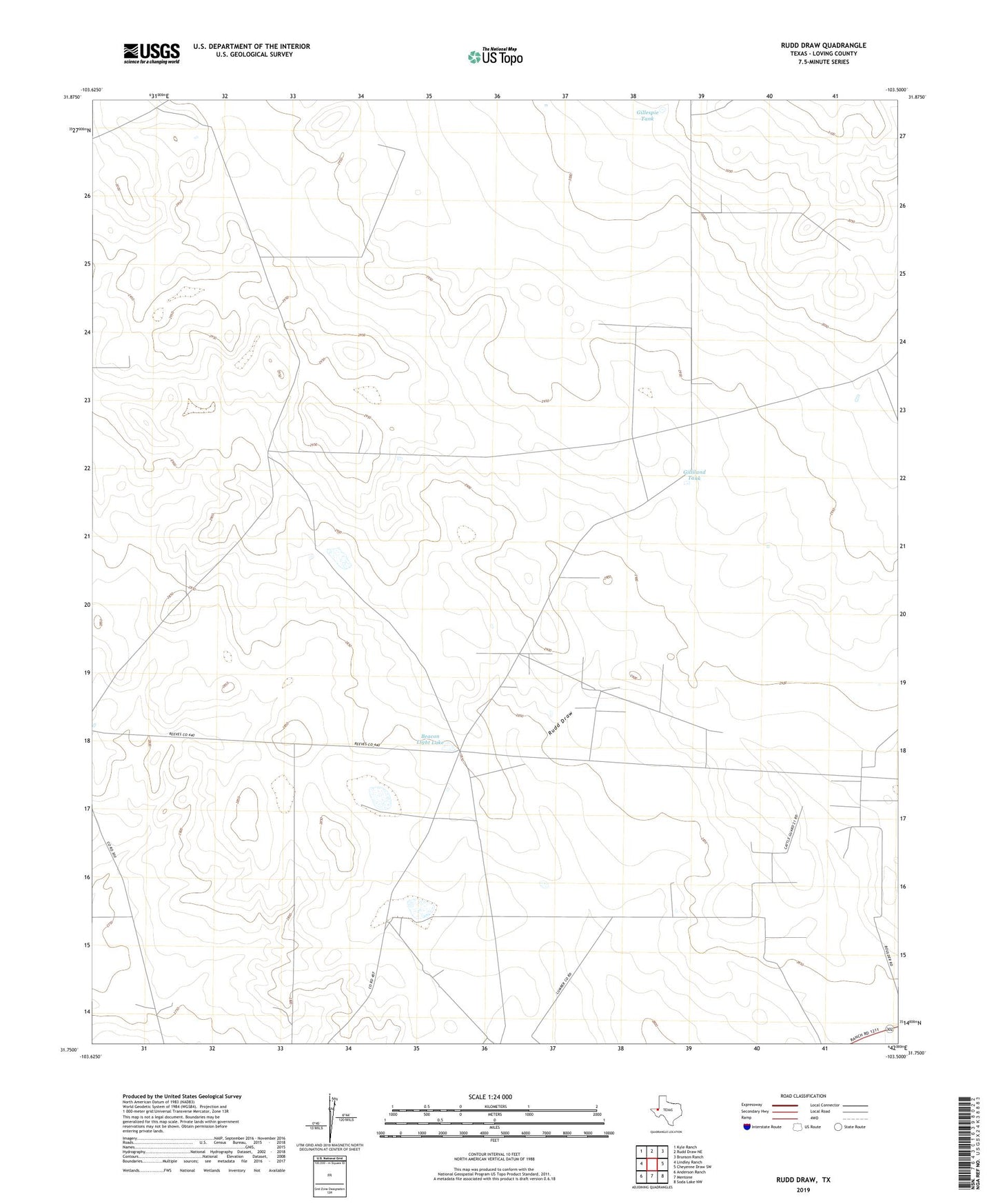
2022 topographic map quadrangle Rudd Draw in the state of Texas. Scale: 1:24000. Based on the newly updated USGS 7.5' US Topo map series, this map is in the following counties: Loving. The map contains contour data, water features, and other items you are used to seeing on USGS maps, but also has updated roads and other features. This is the next generation of topographic maps. Printed on high-quality waterproof paper with UV fade-resistant inks.
Quads adjacent to this one:
West: Lindley Ranch
Northwest: Kyle Ranch
North: Rudd Draw NE
Northeast: Brunson Ranch
East: Cheyenne Draw SW
Southeast: Soda Lake NW
South: Mentone
Southwest: Anderson Ranch
This map covers the same area as the classic USGS quad with code o31103g5.
Contains the following named places: Beacon Light Lake, Gillespie Tank, Gilliland Tank, Loving County, Mentone Division, New Well, Rondo Well, Rudd Well, Slash Ranch, Slash Ranch Cemetery, Wheat Well, White Mule Well, ZIP Code: 79754