MyTopo
Salmon Peak Texas US Topo Map
Couldn't load pickup availability
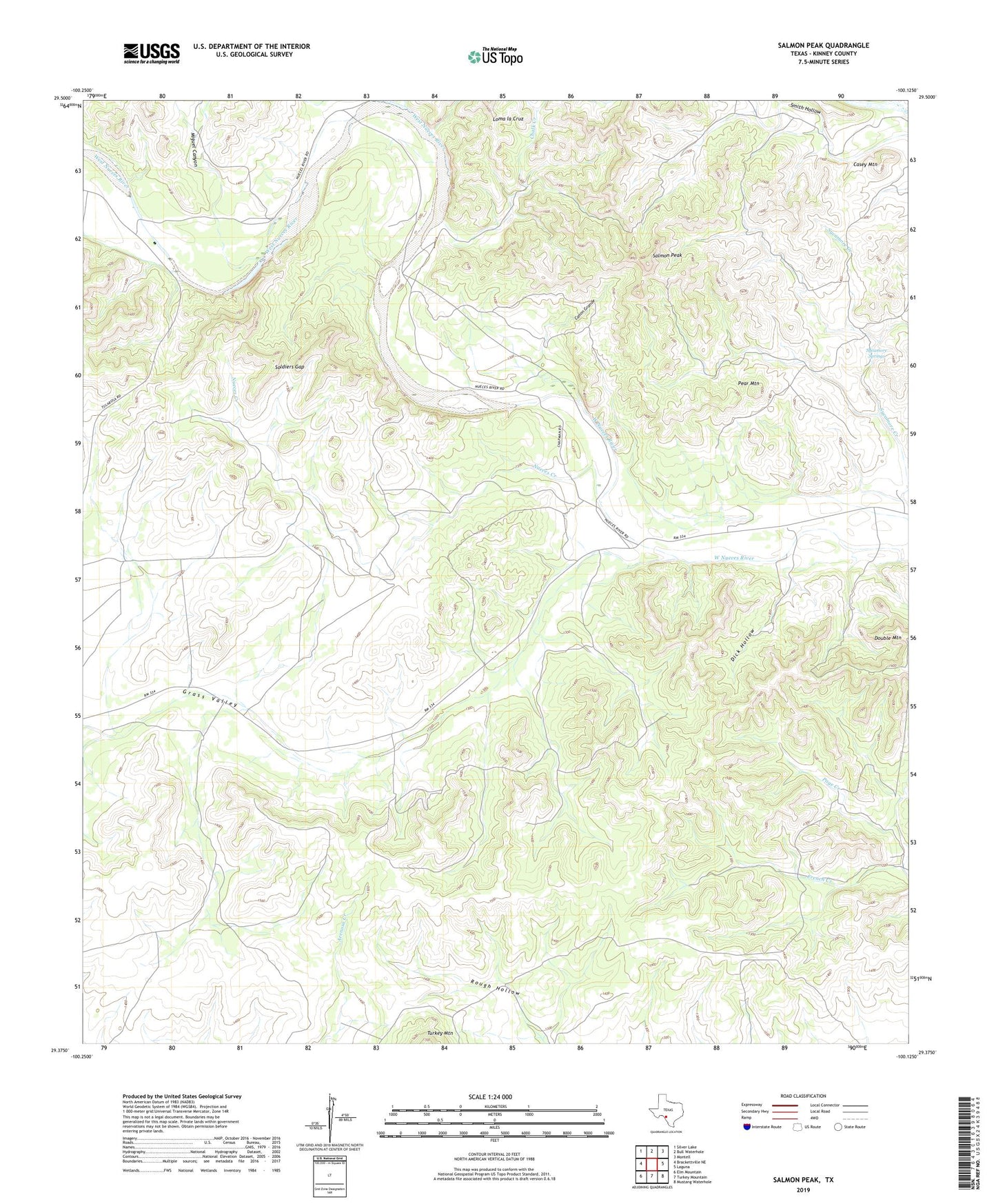
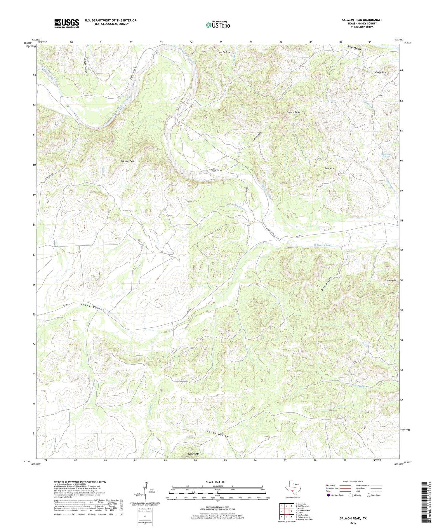
2019 topographic map quadrangle Salmon Peak in the state of Texas. Scale: 1:24000. Based on the newly updated USGS 7.5' US Topo map series, this map is in the following counties: Kinney. The map contains contour data, water features, and other items you are used to seeing on USGS maps, but also has updated roads and other features. This is the next generation of topographic maps. Printed on high-quality waterproof paper with UV fade-resistant inks.
Quads adjacent to this one:
West: Brackettville NE
Northwest: Silver Lake
North: Bull Waterhole
Northeast: Montell
East: Laguna
Southeast: Mustang Waterhole
South: Turkey Mountain
Southwest: Elm Mountain
Contains the following named places: Canon Grande, Casey Mountain, Chalk Creek, Dick Hollow, French Creek, Grass Valley, Miguel Canyon, Nueces Creek, Pear Mountain, Salmon Peak, Soldiers Gap, Sycamore Springs