MyTopo
San Esteban Lake Texas US Topo Map
Couldn't load pickup availability
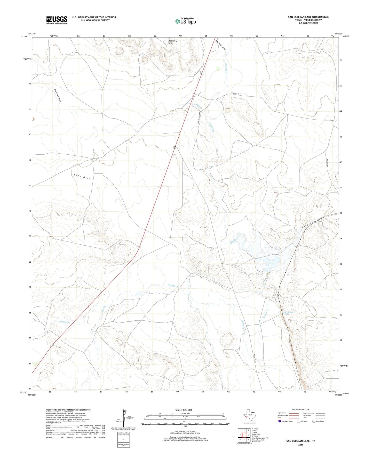
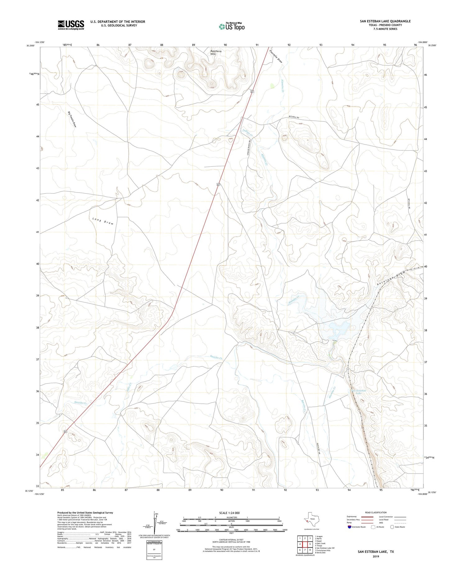
2019 topographic map quadrangle San Esteban Lake in the state of Texas. Scale: 1:24000. Based on the newly updated USGS 7.5' US Topo map series, this map is in the following counties: Presidio. The map contains contour data, water features, and other items you are used to seeing on USGS maps, but also has updated roads and other features. This is the next generation of topographic maps. Printed on high-quality waterproof paper with UV fade-resistant inks.
Quads adjacent to this one:
West: Oak Creek
Northwest: Aragon
North: Marfa
Northeast: Nopal
East: Tinaja
Southeast: Devils Den
South: Frenchman Hills
Southwest: San Esteban Lake SW
Contains the following named places: Antelope Draw, Big Trestle Draw, Fourmile Draw, Indian Creek, Julio Creek, Long Draw, Rancheria Hills, San Estaban Lake, San Esteban Lake Dam, Savcito Creek