MyTopo
Devils Den Texas US Topo Map
Couldn't load pickup availability
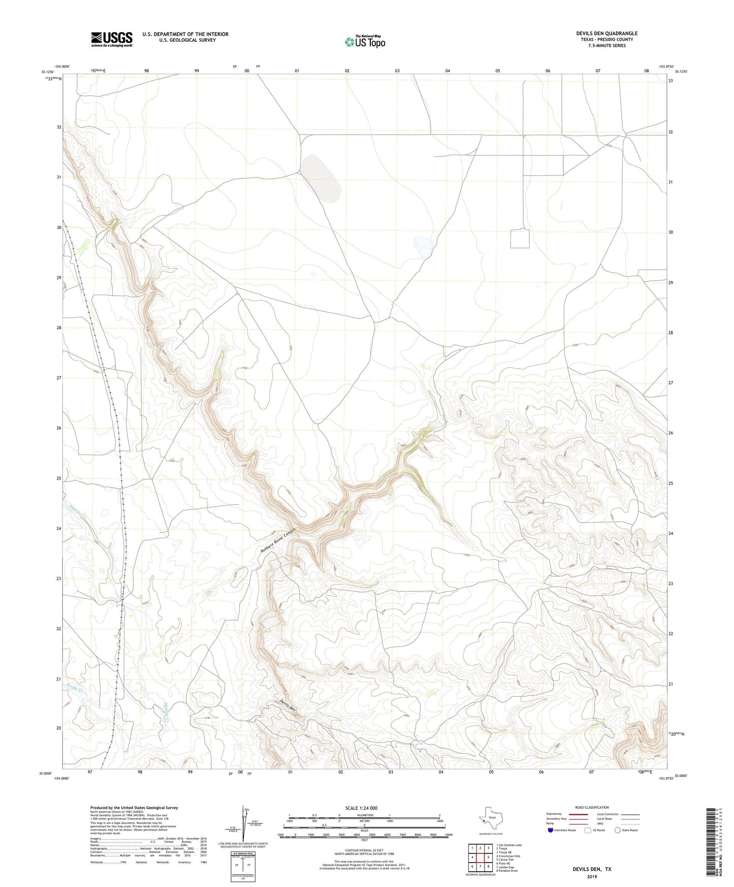
2022 topographic map quadrangle Devils Den in the state of Texas. Scale: 1:24000. Based on the newly updated USGS 7.5' US Topo map series, this map is in the following counties: Presidio. The map contains contour data, water features, and other items you are used to seeing on USGS maps, but also has updated roads and other features. This is the next generation of topographic maps. Printed on high-quality waterproof paper with UV fade-resistant inks.
Quads adjacent to this one:
West: Frenchman Hills
Northwest: San Esteban Lake
North: Tinaja
Northeast: Tinaja NE
East: Cactus Flat
Southeast: Paradise Draw
South: Jordan Gap
Southwest: Plata NE
This map covers the same area as the classic USGS quad with code o30103a8.
Contains the following named places: Perdiz Creek, Robbers Roost Canyon, Willow Canyon