MyTopo
Santana Mesa Texas US Topo Map
Couldn't load pickup availability
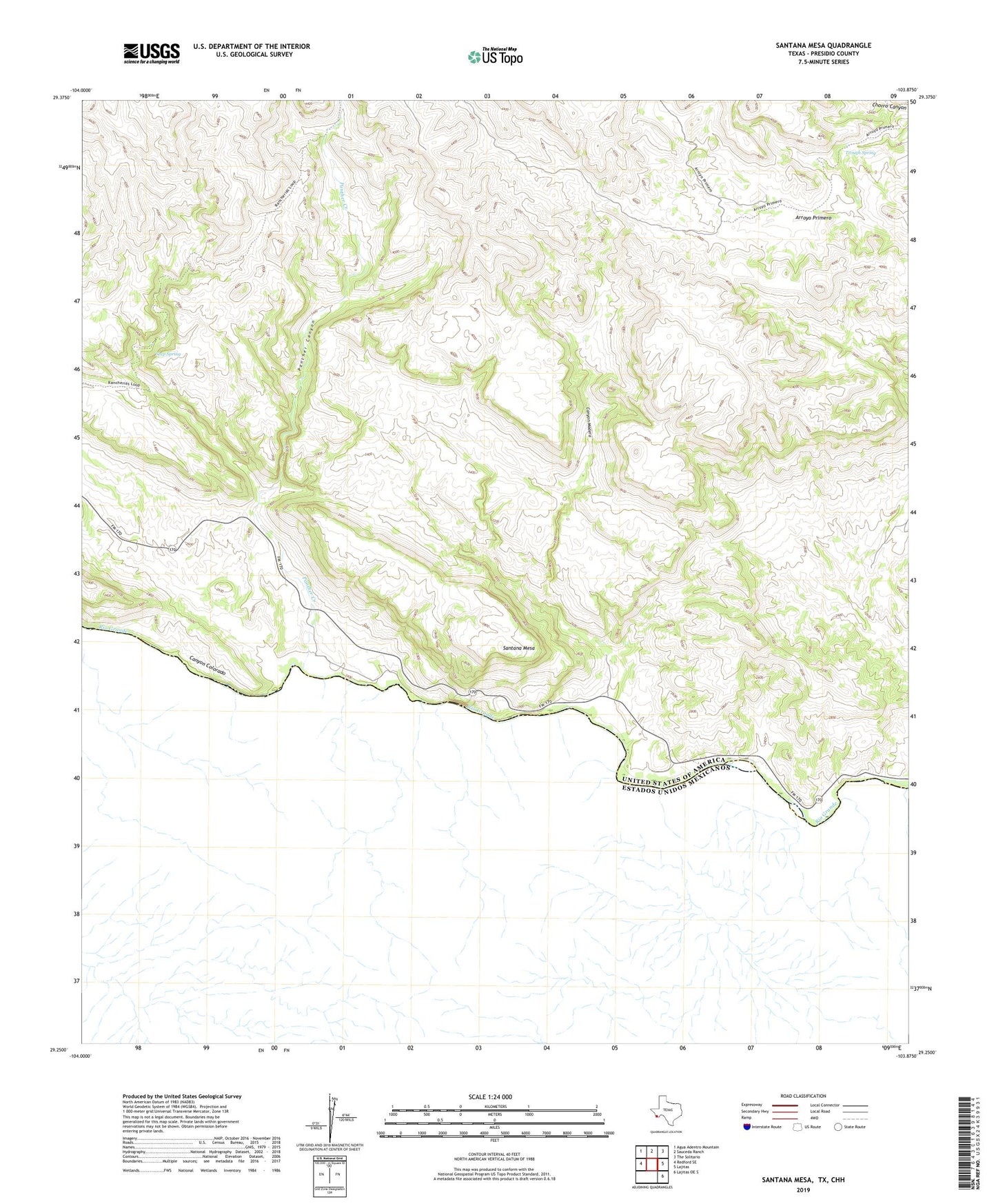
2019 topographic map quadrangle Santana Mesa in the state of Texas. Scale: 1:24000. Based on the newly updated USGS 7.5' US Topo map series, this map is in the following counties: Presidio. The map contains contour data, water features, and other items you are used to seeing on USGS maps, but also has updated roads and other features. This is the next generation of topographic maps. Printed on high-quality waterproof paper with UV fade-resistant inks.
Quads adjacent to this one:
West: Redford SE
Northwest: Agua Adentro Mountain
North: Sauceda Ranch
Northeast: The Solitario
East: Lajitas
Southeast: Lajitas OE S
Contains the following named places: Big Bend Ranch State Park Trail, Canyon Colorado, Canyon Madera, Panther Canyon, Panther Creek, Santana Mesa, Seep Spring, Trough Spring