MyTopo
The Solitario Texas US Topo Map
Couldn't load pickup availability
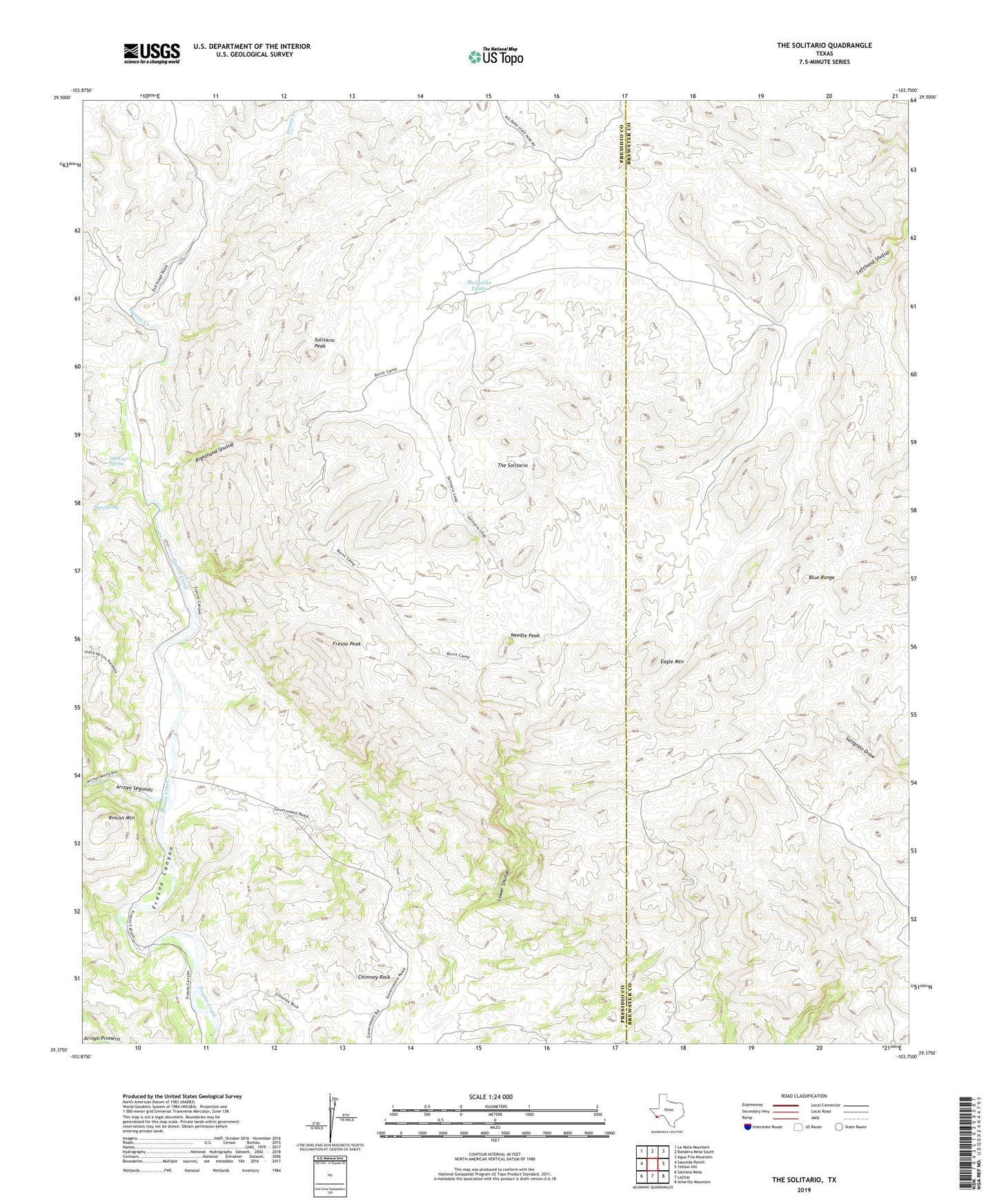
2022 topographic map quadrangle The Solitario in the state of Texas. Scale: 1:24000. Based on the newly updated USGS 7.5' US Topo map series, this map is in the following counties: Presidio, Brewster. The map contains contour data, water features, and other items you are used to seeing on USGS maps, but also has updated roads and other features. This is the next generation of topographic maps. Printed on high-quality waterproof paper with UV fade-resistant inks.
Quads adjacent to this one:
West: Sauceda Ranch
Northwest: La Mota Mountain
North: Bandera Mesa South
Northeast: Agua Fria Mountain
East: Yellow Hill
Southeast: Amarilla Mountain
South: Lajitas
Southwest: Santana Mesa
This map covers the same area as the classic USGS quad with code o29103d7.
Contains the following named places: Arroyo Segundo, Blue Range, Burnt Camp, Chimney Rock, Eagle Mountain, Fresno Peak, La Escondida, Lower Shutup, McGuirks Tanks, Needle Peak, Old Log Spring, Piedra Lumbre, Righthand Shutup, Rincon Mountain, Seep Spring, Solitario Peak, The Solitario, Tres Papalotes