MyTopo
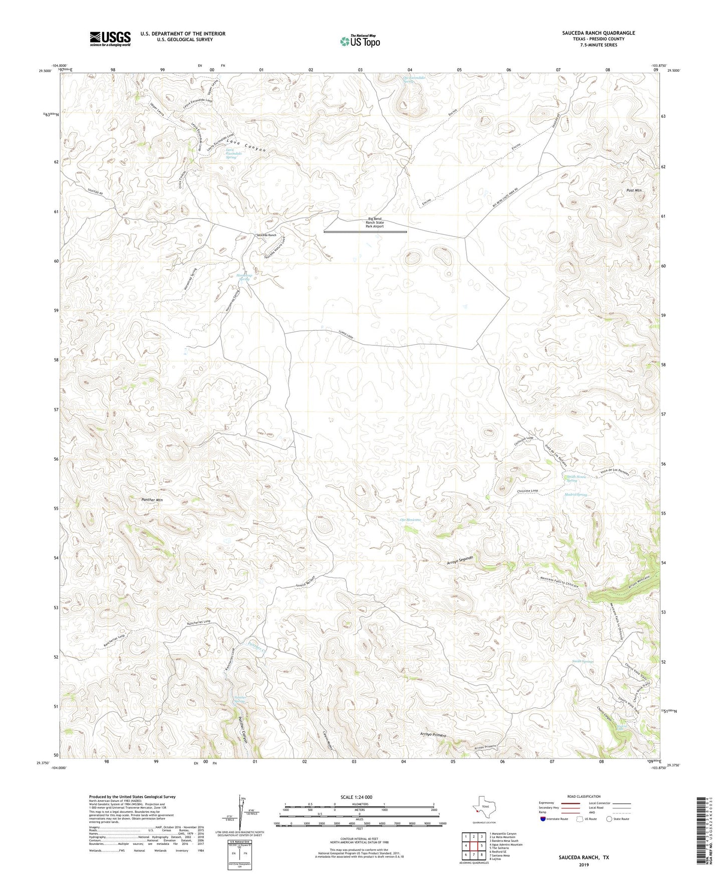
Sauceda Ranch Texas US Topo Map
Couldn't load pickup availability
2022 topographic map quadrangle Sauceda Ranch in the state of Texas. Scale: 1:24000. Based on the newly updated USGS 7.5' US Topo map series, this map is in the following counties: Presidio. The map contains contour data, water features, and other items you are used to seeing on USGS maps, but also has updated roads and other features. This is the next generation of topographic maps. Printed on high-quality waterproof paper with UV fade-resistant inks.
Quads adjacent to this one:
West: Agua Adentro Mountain
Northwest: Manzanillo Canyon
North: La Mota Mountain
Northeast: Bandera Mesa South
East: The Solitario
Southeast: Lajitas
South: Santana Mesa
Southwest: Redford SE
This map covers the same area as the classic USGS quad with code o29103d8.
Contains the following named places: Big Bend Ranch State Park Airport, Horsetrap Spring, Lava Escondido Spring, Madrid Falls, Madrid Spring, Ojo Escondido Spring, Ojo Mexicano, Panther Mountain, Panther Spring, Papalote Escondido, Papalote Llano, Papalote Seco, Post Mountain, Sauceda Ranch, Smith House Spring, Smith Springs, ZIP Code: 79846