MyTopo
Seven Diamond L Canyon Texas US Topo Map
Couldn't load pickup availability
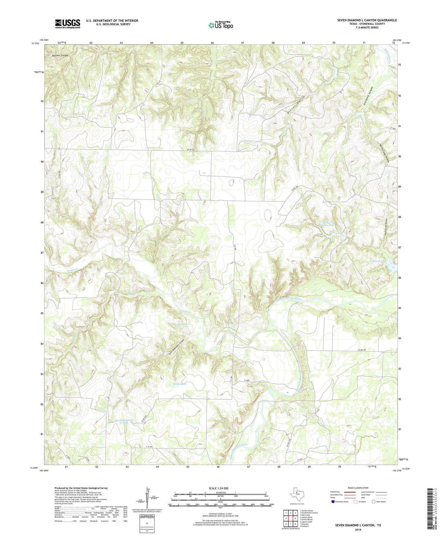
2019 topographic map quadrangle Seven Diamond L Canyon in the state of Texas. Scale: 1:24000. Based on the newly updated USGS 7.5' US Topo map series, this map is in the following counties: Stonewall. The map contains contour data, water features, and other items you are used to seeing on USGS maps, but also has updated roads and other features. This is the next generation of topographic maps. Printed on high-quality waterproof paper with UV fade-resistant inks.
Quads adjacent to this one:
West: Jayton North
Northwest: Pursley House
North: Southerland Canyon
Northeast: Bob Creek
East: Lovers Resort
Southeast: Swenson
South: Peacock
Southwest: Jayton South
Contains the following named places: Croton Creek, Croton Pens, Ellis Pens, Fulbright Windmill, Golden Pond Cemetery, Golden Pond School, Homer Brinson Lake, Homer Brinson Lake Dam, Landreth Lake, Landreth Lake Dam, Lower Croton Windmill, North Camp, North Camp Hollow, Patterson Windmill, Perry Tank, Perry Windmill, Pitchfork Canyon, Salt Creek, Salt Creek Windmill, Seven Diamond L Canyon, Seven Diamond L Tank, Sherrod Windmill, South Camp Hollow, Twin Windmills, York Tanks