MyTopo
Seven L Peak Texas US Topo Map
Couldn't load pickup availability
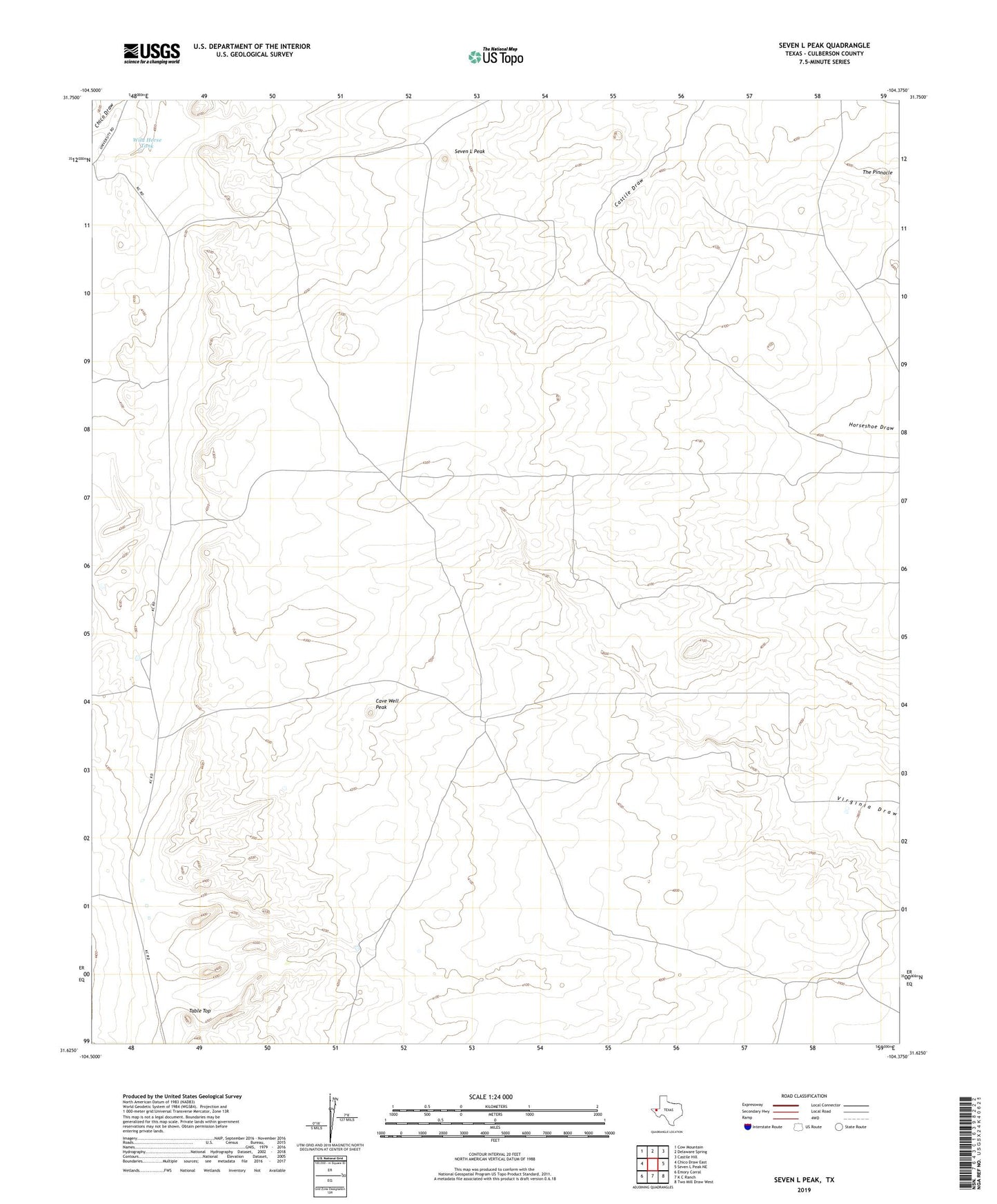
2019 topographic map quadrangle Seven L Peak in the state of Texas. Scale: 1:24000. Based on the newly updated USGS 7.5' US Topo map series, this map is in the following counties: Culberson. The map contains contour data, water features, and other items you are used to seeing on USGS maps, but also has updated roads and other features. This is the next generation of topographic maps. Printed on high-quality waterproof paper with UV fade-resistant inks.
Quads adjacent to this one:
West: Chico Draw East
Northwest: Cow Mountain
North: Delaware Spring
Northeast: Castile Hill
East: Seven L Peak NE
Southeast: Two Mill Draw West
South: K C Ranch
Southwest: Emory Corral
Contains the following named places: Cave Well, Cave Well Peak, Division Windmill, Flowing Well, High Lonesome Well, Seven L Peak, Seven L Well, Table Top, The Pinnacle, West Rader Windmill, West Windmill, Wild Horse Tank