MyTopo
Chico Draw East Texas US Topo Map
Couldn't load pickup availability
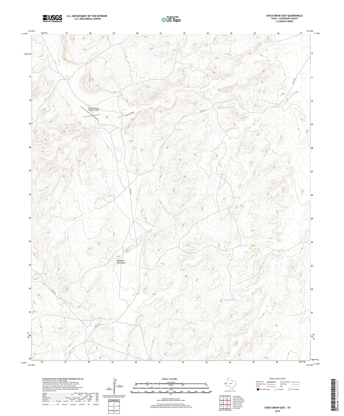
2022 topographic map quadrangle Chico Draw East in the state of Texas. Scale: 1:24000. Based on the newly updated USGS 7.5' US Topo map series, this map is in the following counties: Culberson. The map contains contour data, water features, and other items you are used to seeing on USGS maps, but also has updated roads and other features. This is the next generation of topographic maps. Printed on high-quality waterproof paper with UV fade-resistant inks.
Quads adjacent to this one:
West: Chico Draw West
Northwest: Long Point
North: Cow Mountain
Northeast: Delaware Spring
East: Seven L Peak
Southeast: K C Ranch
South: Emory Corral
Southwest: Burro Canyon
This map covers the same area as the classic USGS quad with code o31104f5.
Contains the following named places: Chico Well, Cowden Family Ranch Cemetery, Cowden Lake, Cowden Lake Dam, Culp Tank, Jack Tank, Mike Tank, Minnie Tank, Nester Tank, Nob Hill Tank, Patterson Tank, Red Tank, Triangle Ranch Private Airport, Walker Tank, Wallace Tank