MyTopo
South Cowden Ranch Texas US Topo Map
Couldn't load pickup availability
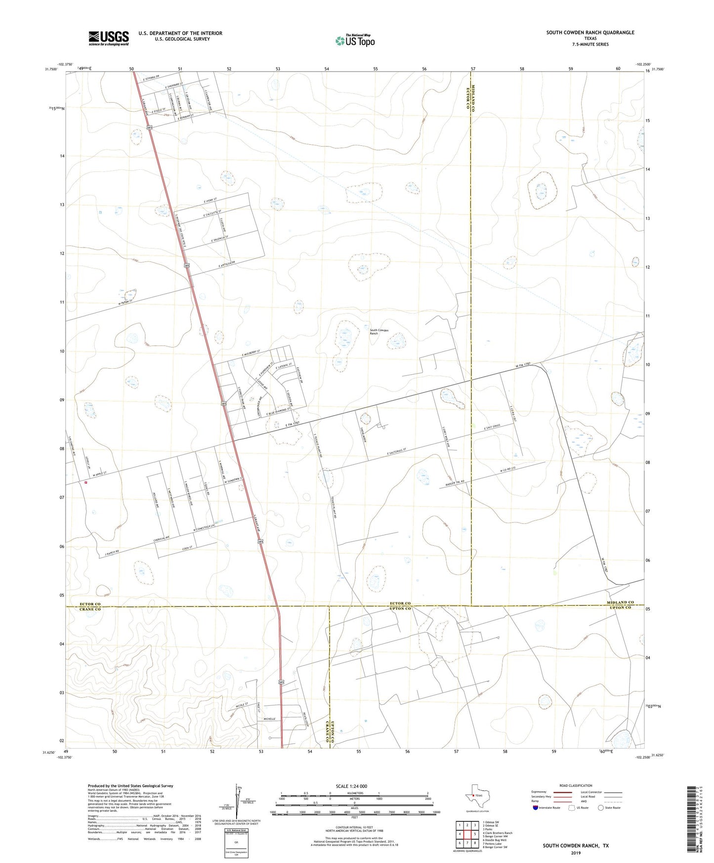
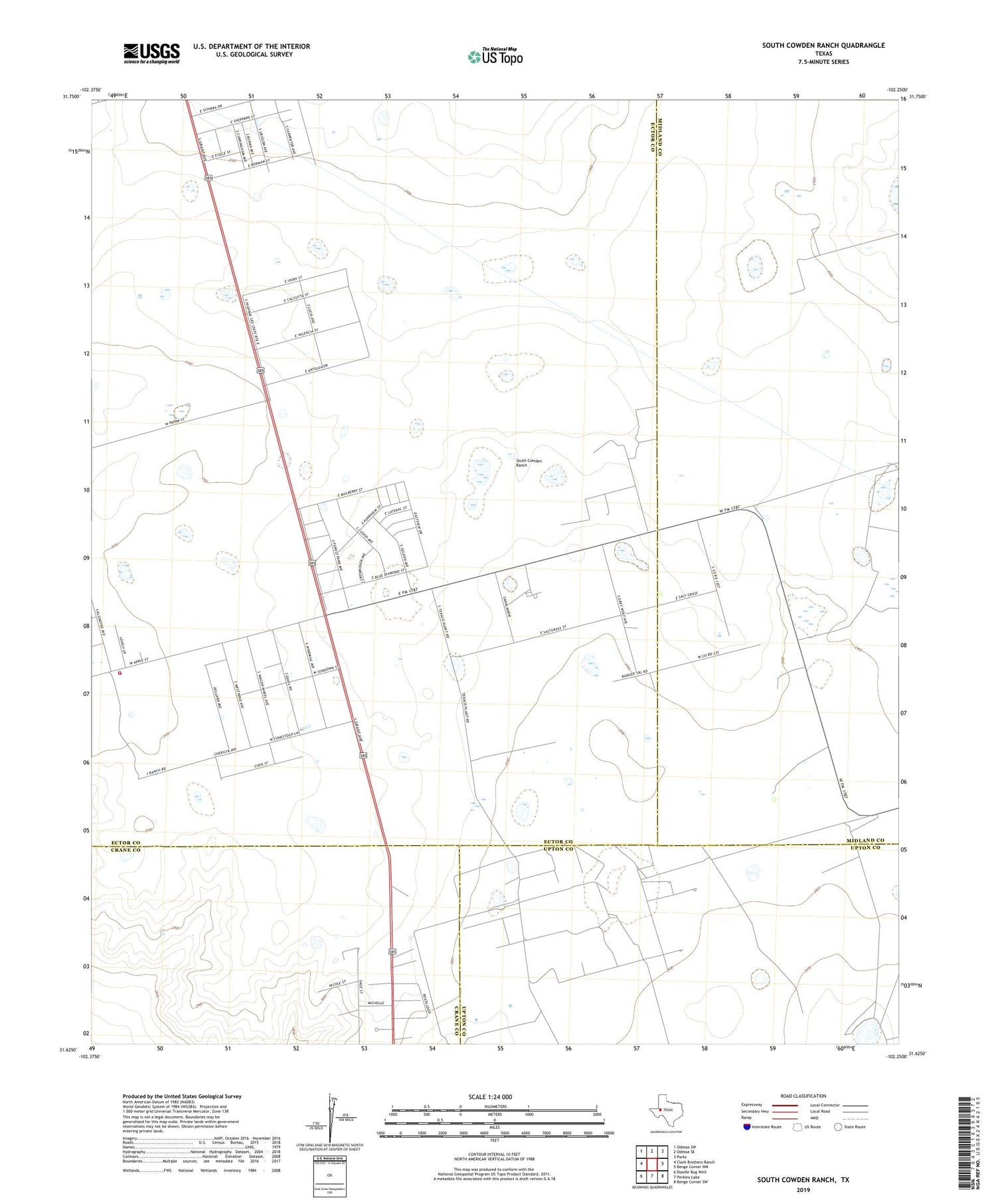
2019 topographic map quadrangle South Cowden Ranch in the state of Texas. Scale: 1:24000. Based on the newly updated USGS 7.5' US Topo map series, this map is in the following counties: Ector, Midland, Upton, Crane. The map contains contour data, water features, and other items you are used to seeing on USGS maps, but also has updated roads and other features. This is the next generation of topographic maps. Printed on high-quality waterproof paper with UV fade-resistant inks.
Quads adjacent to this one:
West: Clark Brothers Ranch
Northwest: Odessa SW
North: Odessa SE
Northeast: Parks
East: Benge Corner NW
Southeast: Benge Corner SW
South: Perkins Lake
Southwest: Doodle Bug Well
Contains the following named places: Concho Bluff North Oil Field, Double Well Windmill, East Eight Section Windmill, East Well Windmill, East Williams Windmill, Field Windmill, Frijol Windmill, Hillbilly Windmill, KODM-FM (Odessa), McElroy Trap Windmill, Moose Oil Field, North Kelly Windmill, Pleasant Farms, Railway Ranch, Sheep Camp Windmill, South Cowden Ranch, South Ector County Volunteer Fire Department, South Kelly Windmill, South Williams Windmill, Virey Oil Field, West Eight Section Windmill, West Williams Windmill, West Windmill