MyTopo
Benge Corner NW Texas US Topo Map
Couldn't load pickup availability
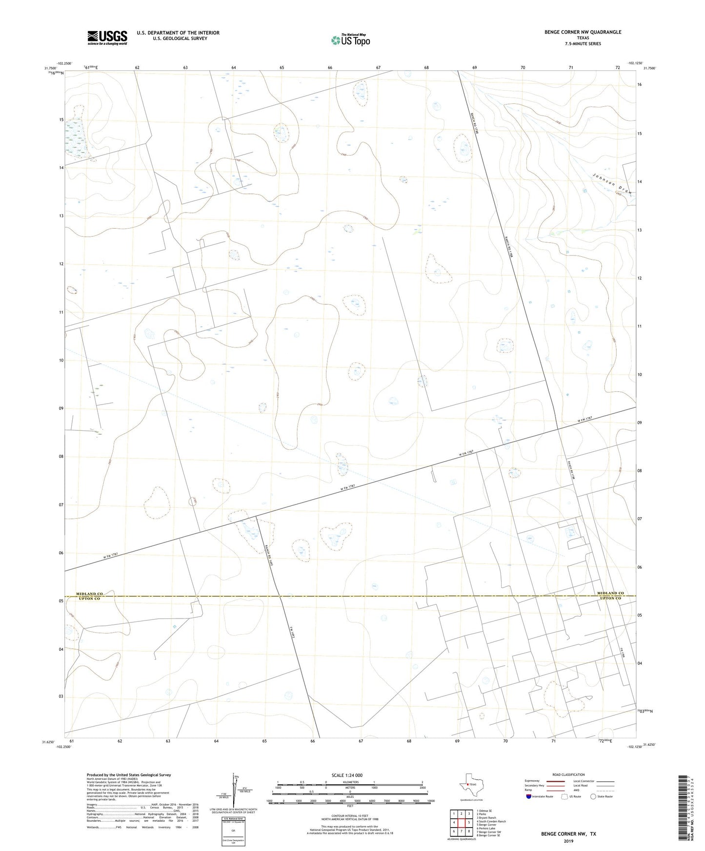
2022 topographic map quadrangle Benge Corner NW in the state of Texas. Scale: 1:24000. Based on the newly updated USGS 7.5' US Topo map series, this map is in the following counties: Midland, Upton. The map contains contour data, water features, and other items you are used to seeing on USGS maps, but also has updated roads and other features. This is the next generation of topographic maps. Printed on high-quality waterproof paper with UV fade-resistant inks.
Quads adjacent to this one:
West: South Cowden Ranch
Northwest: Odessa SE
North: Parks
Northeast: Bryant Ranch
East: Benge Corner
Southeast: Benge Corner SE
South: Benge Corner SW
Southwest: Perkins Lake
This map covers the same area as the classic USGS quad with code o31102f2.
Contains the following named places: Barnhart Windmill, Bull Head Windmill, Dog Town Windmill, Eagles Nest Gliderport, East Windmill, Hatley Windmill, Iraan Windmill, Partition Windmill, Pegasus Gasoline Plant, Pegasus Oil Field, Saddler Windmill, Shearing Pen Windmill, Sweetie Peck Oil Field, Sweetie Peck Plant, Warsaw Oil Field, West Windmill