MyTopo
South Mustang Draw NE Texas US Topo Map
Couldn't load pickup availability
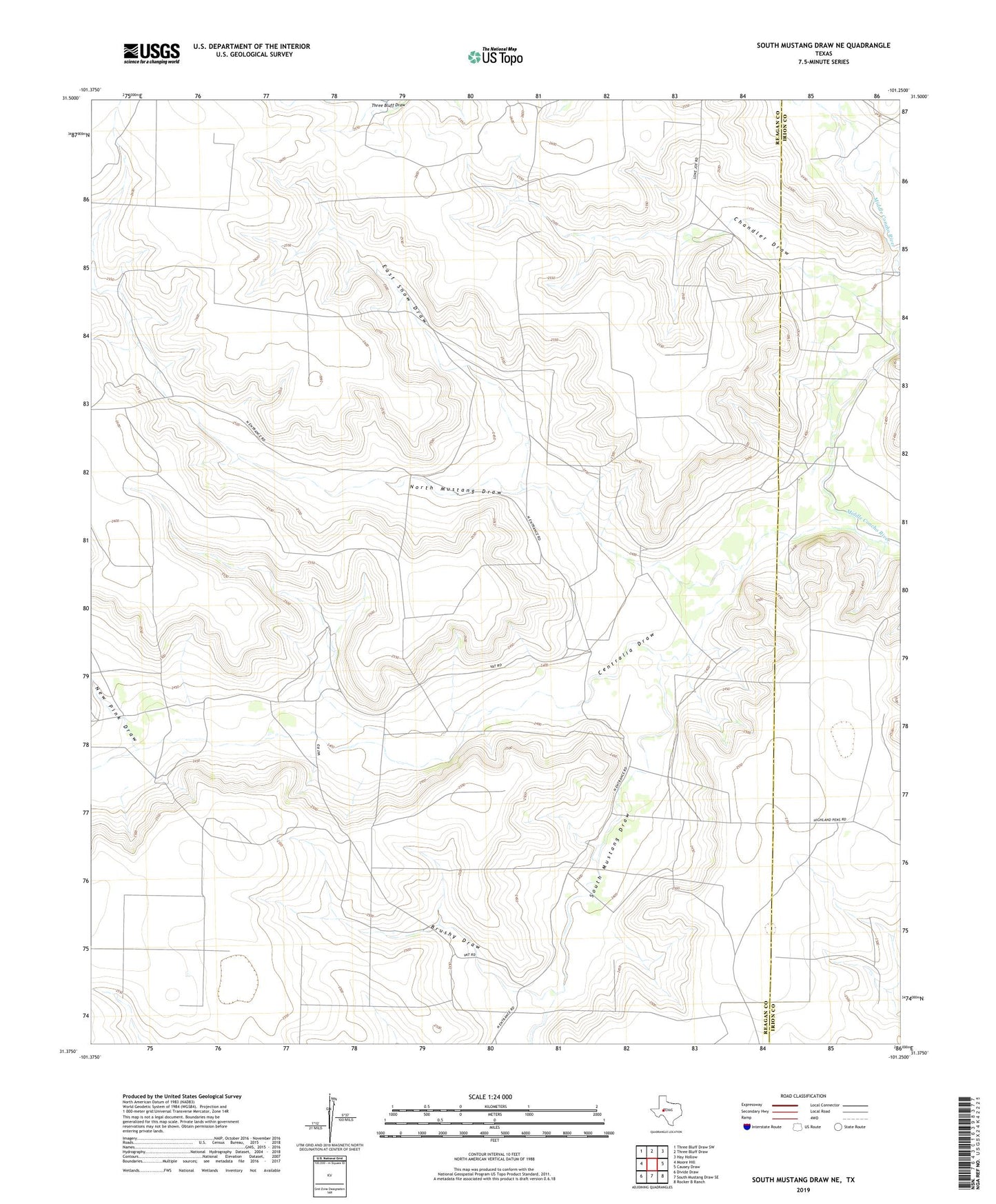
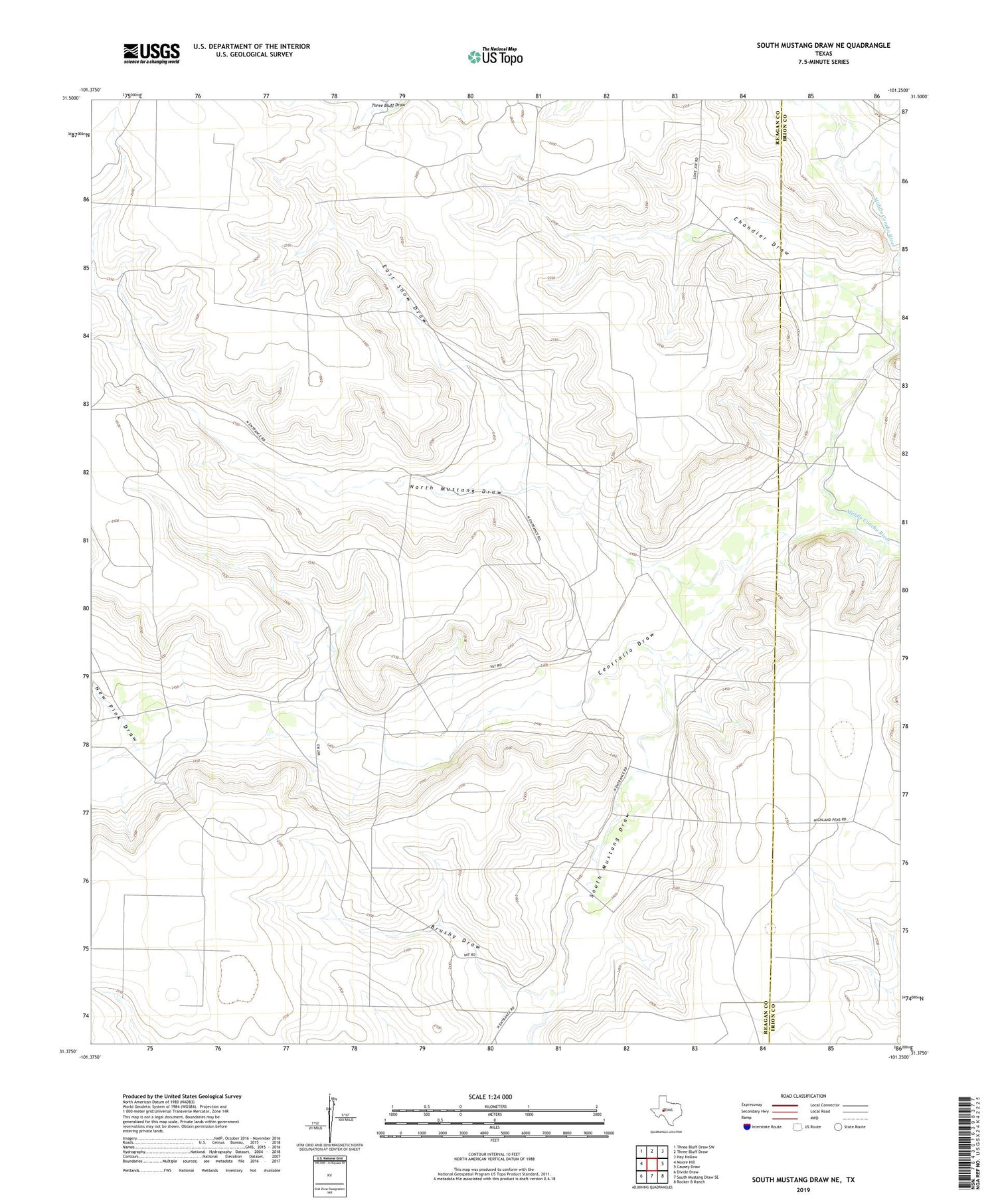
2019 topographic map quadrangle South Mustang Draw NE in the state of Texas. Scale: 1:24000. Based on the newly updated USGS 7.5' US Topo map series, this map is in the following counties: Reagan, Irion. The map contains contour data, water features, and other items you are used to seeing on USGS maps, but also has updated roads and other features. This is the next generation of topographic maps. Printed on high-quality waterproof paper with UV fade-resistant inks.
Quads adjacent to this one:
West: Moore Hill
Northwest: Three Bluff Draw SW
North: Three Bluff Draw
Northeast: Hay Hollow
East: Causey Draw
Southeast: Rocker B Ranch
South: South Mustang Draw SE
Southwest: Divide Draw
Contains the following named places: Bluff Water Hole, Brushy Draw, Brushy Windmill, Centralia Draw, Chandler Draw, Dogtown Windmill, East Snow Draw, East Snow Windmill, Elbow Horsetrap Well, Elbow Line Camp, Emergency Windmill, Highland Windmill, New Pink Draw, North Mustang Draw, North Mustang Well, North Mustang Windmill, Old Pink Windmill, Rainbow Windmill, South Mustang Draw, Vat Line Camp, West Snow Windmill