MyTopo
South Mustang Draw SE Texas US Topo Map
Couldn't load pickup availability
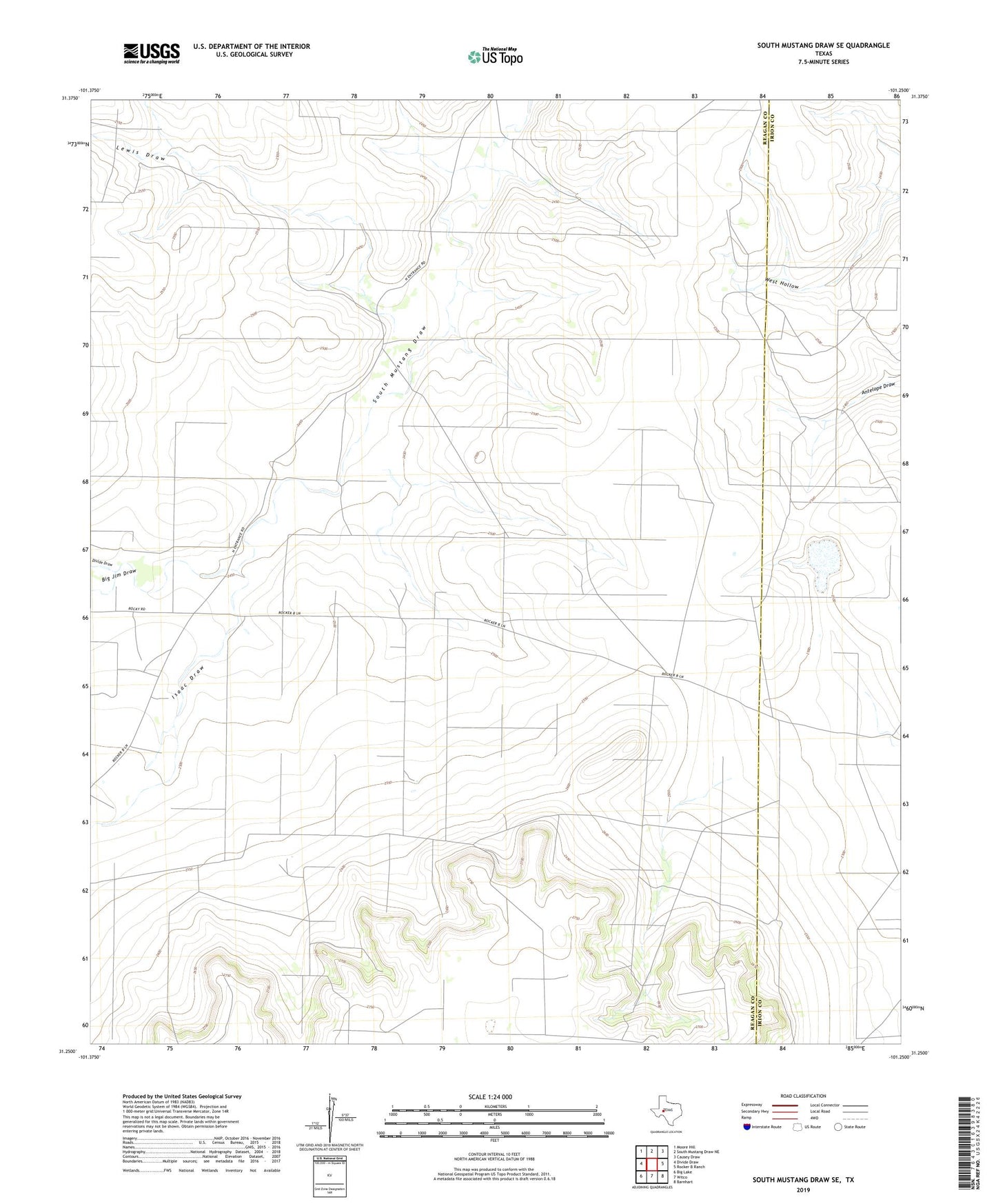
2022 topographic map quadrangle South Mustang Draw SE in the state of Texas. Scale: 1:24000. Based on the newly updated USGS 7.5' US Topo map series, this map is in the following counties: Reagan, Irion. The map contains contour data, water features, and other items you are used to seeing on USGS maps, but also has updated roads and other features. This is the next generation of topographic maps. Printed on high-quality waterproof paper with UV fade-resistant inks.
Quads adjacent to this one:
West: Divide Draw
Northwest: Moore Hill
North: South Mustang Draw NE
Northeast: Causey Draw
East: Rocker B Ranch
Southeast: Barnhart
South: Witco
Southwest: Big Lake
This map covers the same area as the classic USGS quad with code o31101c3.
Contains the following named places: Basin Well, Big Jim Draw, Cat Claw Windmill, Chili Windmill, Divide Draw, Greasewood Windmill, Isaac Draw, Lewis Draw, Lewis Windmill, Old Antelope Windmill, Shot Windmill, South Mustang Windmill, Twentyfoot Windmill, Upper West Hollow Windmill, West Line Camp, West Line Trap Windmill, Whatley Windmill