MyTopo
Spice Rock Texas US Topo Map
Couldn't load pickup availability
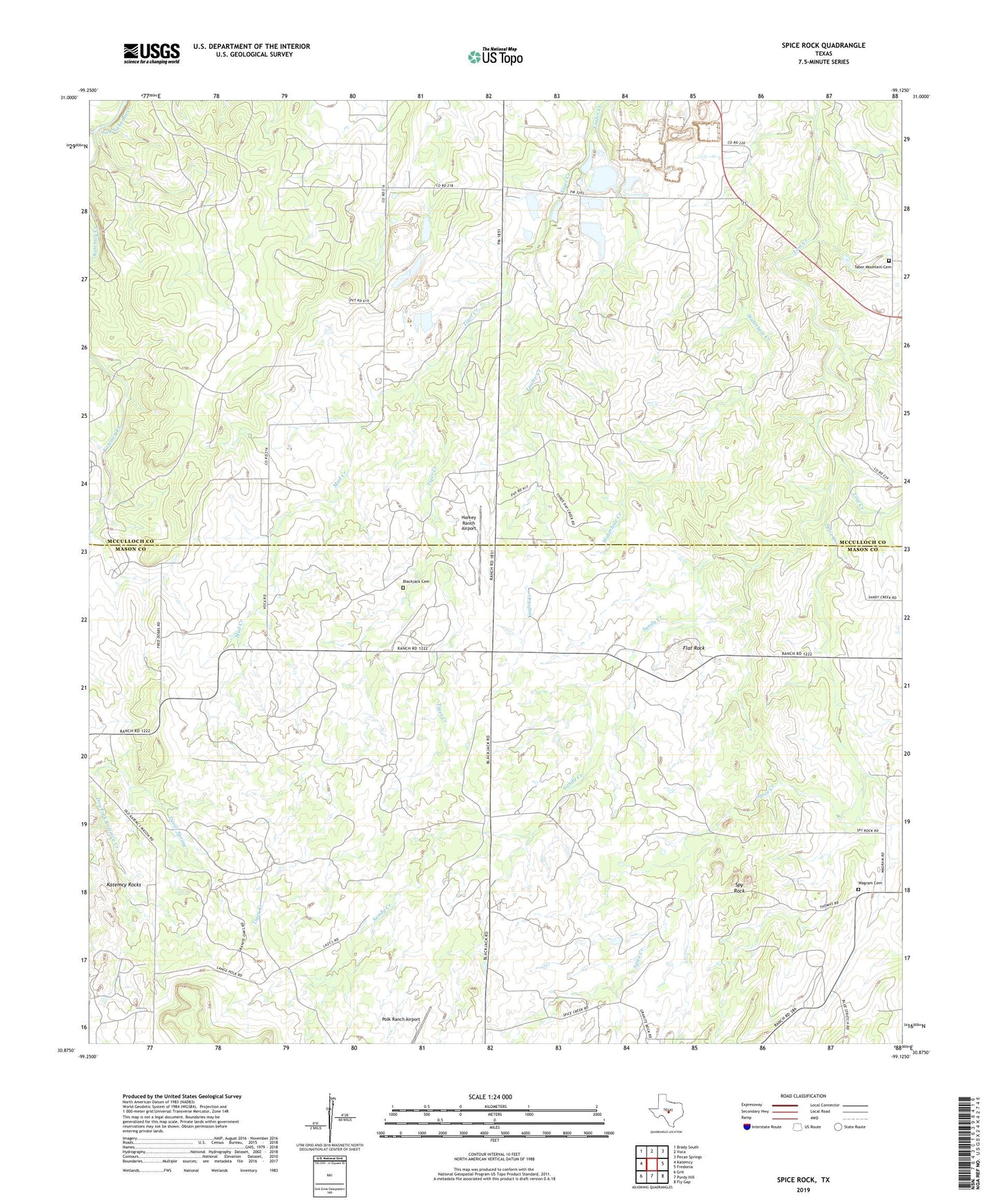
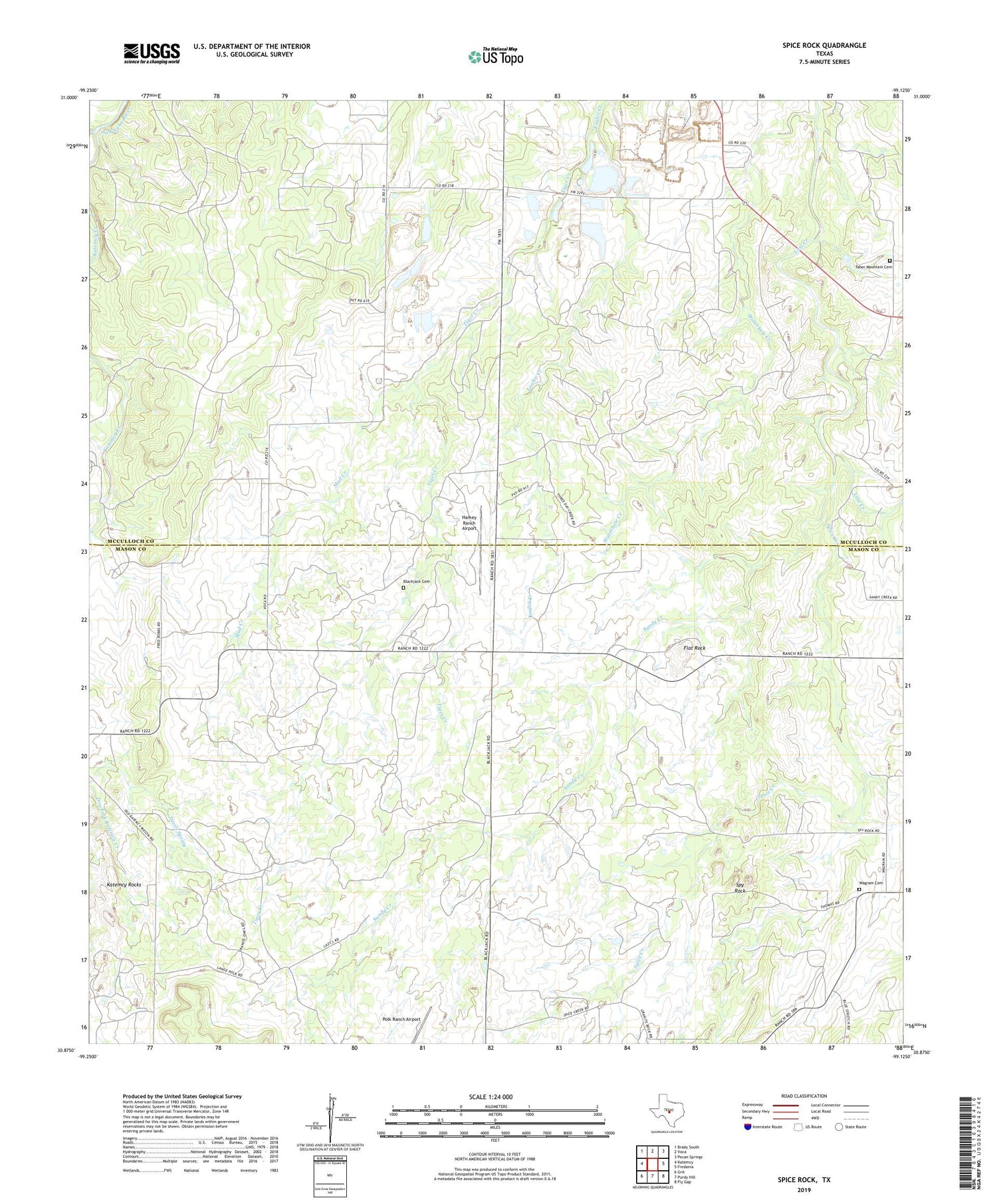
2019 topographic map quadrangle Spice Rock in the state of Texas. Scale: 1:24000. Based on the newly updated USGS 7.5' US Topo map series, this map is in the following counties: Mason, McCulloch. The map contains contour data, water features, and other items you are used to seeing on USGS maps, but also has updated roads and other features. This is the next generation of topographic maps. Printed on high-quality waterproof paper with UV fade-resistant inks.
Quads adjacent to this one:
West: Katemcy
Northwest: Brady South
North: Voca
Northeast: Pecan Springs
East: Fredonia
Southeast: Fly Gap
South: Purdy Hill
Southwest: Grit
Contains the following named places: Blackjack Cemetery, Flat Rock, Harkey Ranch Airport, Katemcy Creek, Loafer Creek, Mud Creek, Polk Ranch Airport, Sandy Creek, Spice Creek, Spy Rock, Tabor Mountain Cemetery, Wagram Cemetery, Waterhole Creek