MyTopo
Brady South Texas US Topo Map
Couldn't load pickup availability
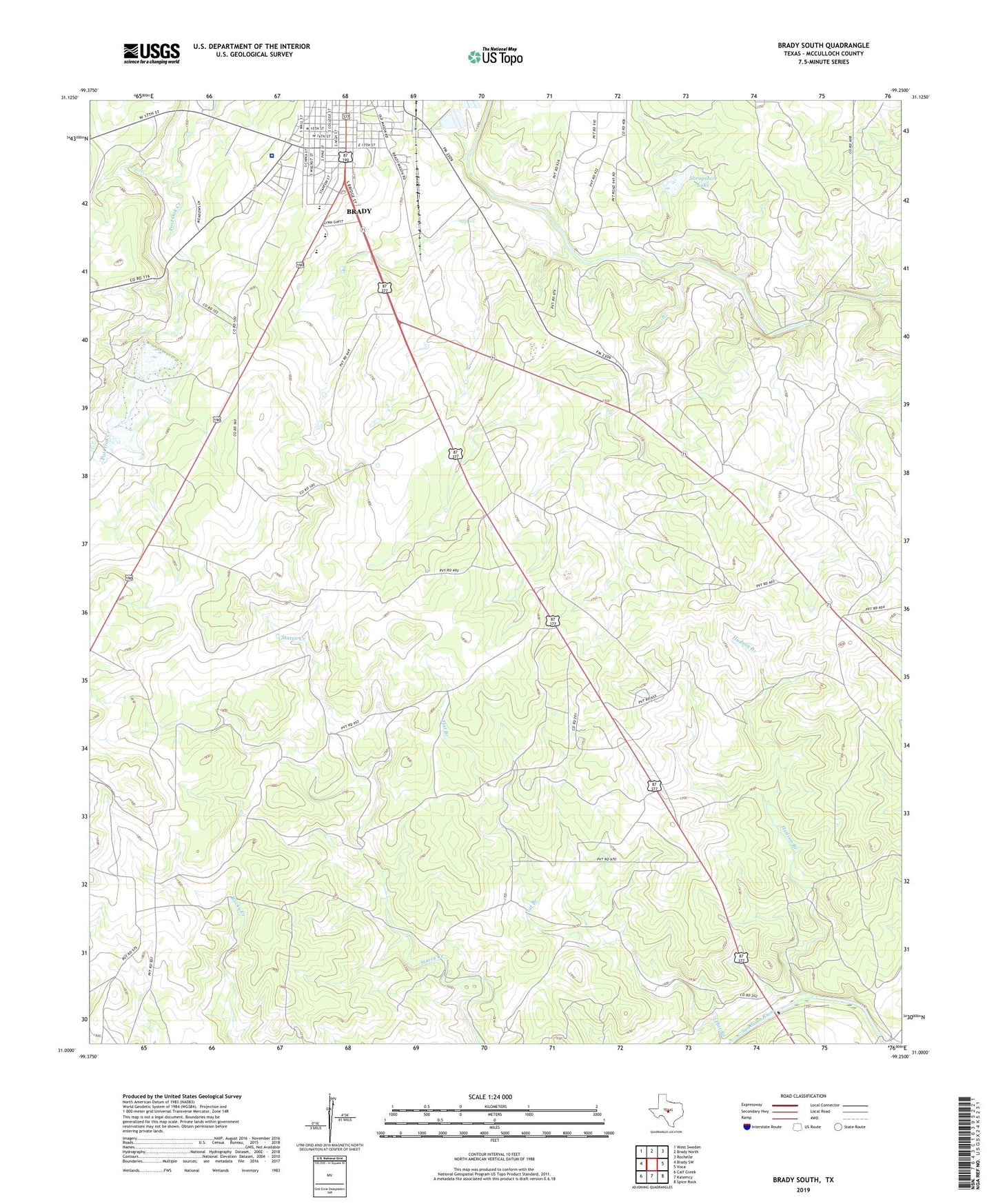
2022 topographic map quadrangle Brady South in the state of Texas. Scale: 1:24000. Based on the newly updated USGS 7.5' US Topo map series, this map is in the following counties: McCulloch. The map contains contour data, water features, and other items you are used to seeing on USGS maps, but also has updated roads and other features. This is the next generation of topographic maps. Printed on high-quality waterproof paper with UV fade-resistant inks.
Quads adjacent to this one:
West: Brady SW
Northwest: West Sweden
North: Brady North
Northeast: Rochelle
East: Voca
Southeast: Spice Rock
South: Katemcy
Southwest: Calf Creek
This map covers the same area as the classic USGS quad with code o31099a3.
Contains the following named places: Brady Division, Brady Elementary School, Church of Christ, Flat Branch, Heart of Texas Healthcare System, Hudson Branch, KNEL-FM (Brady), Rollie G White Complex, Shropshire Lake, Shropshire Lake Dam, Soil Conservation Service Site 1 Dam, Soil Conservation Service Site 1 Reservoir, South China School, Stanburn Park