MyTopo
Katemcy Texas US Topo Map
Couldn't load pickup availability
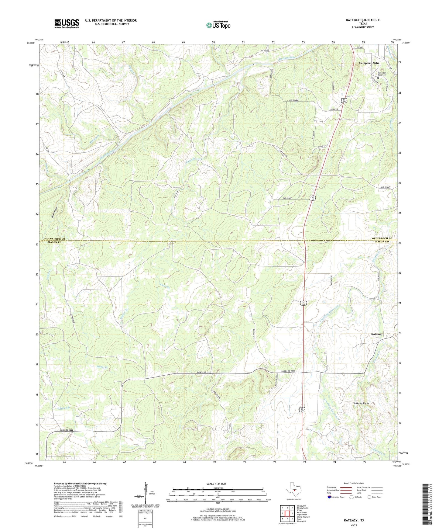
2022 topographic map quadrangle Katemcy in the state of Texas. Scale: 1:24000. Based on the newly updated USGS 7.5' US Topo map series, this map is in the following counties: Mason, McCulloch. The map contains contour data, water features, and other items you are used to seeing on USGS maps, but also has updated roads and other features. This is the next generation of topographic maps. Printed on high-quality waterproof paper with UV fade-resistant inks.
Quads adjacent to this one:
West: Calf Creek
Northwest: Brady SW
North: Brady South
Northeast: Voca
East: Spice Rock
Southeast: Purdy Hill
South: Grit
Southwest: Long Mountain
This map covers the same area as the classic USGS quad with code o30099h3.
Contains the following named places: Bethel Church, Camp Air, Camp Creek, Camp San Saba, Camp San Saba Cemetery, Cavin Branch, Decker Creek, Decker Hollow, Devils Spring, Dry Fork Katemcy Creek, Dry Prong Katemcy Creek, Katemcy, Katemcy Rocks, Ranch Branch, Rocky Creek, Rumsey Creek, Schmidt Branch, Staten Creek