MyTopo
Stillwell Crossing Texas US Topo Map
Couldn't load pickup availability
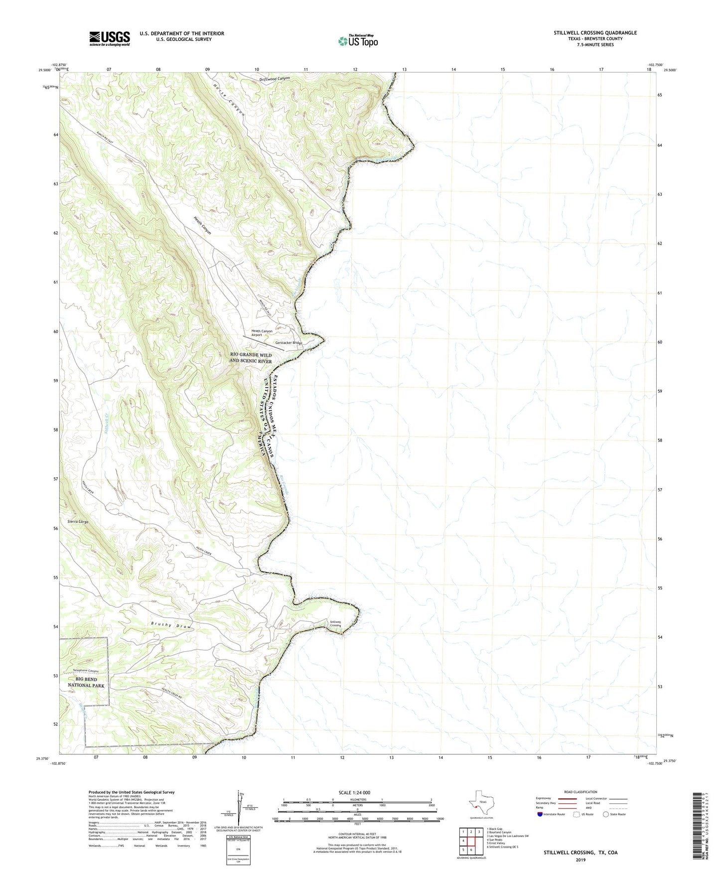
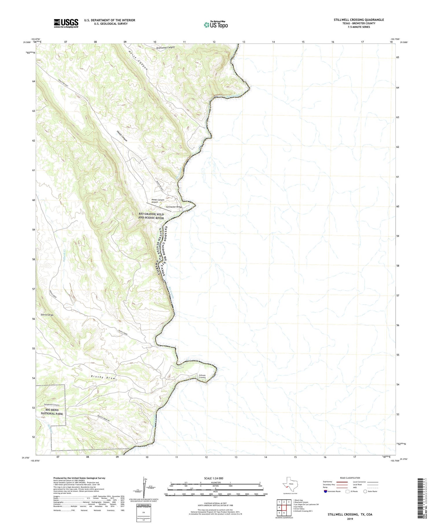
2019 topographic map quadrangle Stillwell Crossing in the state of Texas. Scale: 1:24000. Based on the newly updated USGS 7.5' US Topo map series, this map is in the following counties: Brewster. The map contains contour data, water features, and other items you are used to seeing on USGS maps, but also has updated roads and other features. This is the next generation of topographic maps. Printed on high-quality waterproof paper with UV fade-resistant inks.
Quads adjacent to this one:
West: Sue Peaks
Northwest: Black Gap
North: Bourland Canyon
Northeast: Las Vegas De Los Ladrones SW
South: Stillwell Crossing OE S
Southwest: Ernst Valley
Contains the following named places: Adams Ranch, Brushy Draw, Gerstacker Bridge, Heath Canyon, Heath Canyon Airport, Heath Crossing, Horse Canyon, Stillwell Creek, Stillwell Crossing