MyTopo
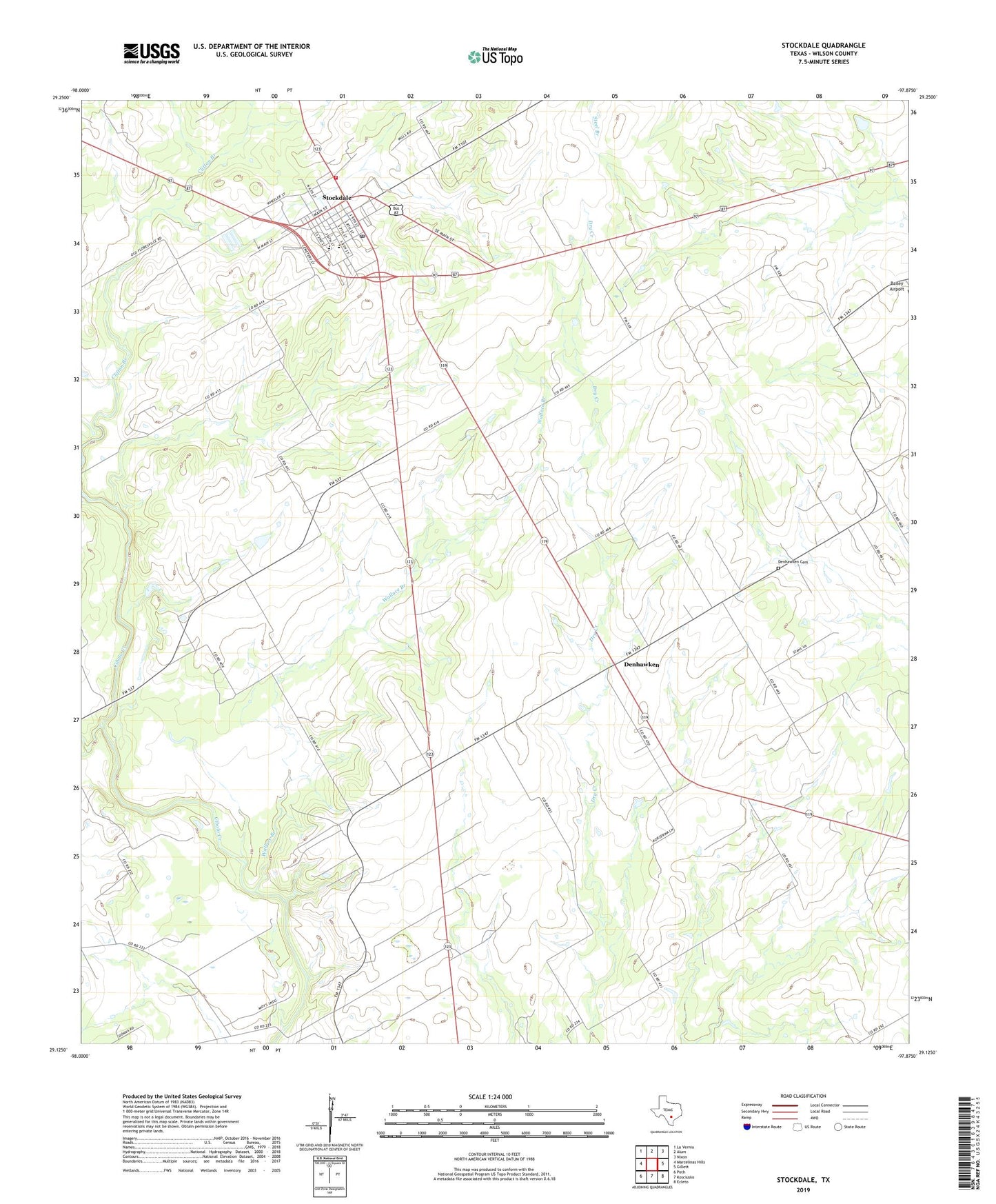
Stockdale Texas US Topo Map
Couldn't load pickup availability
2019 topographic map quadrangle Stockdale in the state of Texas. Scale: 1:24000. Based on the newly updated USGS 7.5' US Topo map series, this map is in the following counties: Wilson. The map contains contour data, water features, and other items you are used to seeing on USGS maps, but also has updated roads and other features. This is the next generation of topographic maps. Printed on high-quality waterproof paper with UV fade-resistant inks.
Quads adjacent to this one:
West: Marcelinas Hills
Northwest: La Vernia
North: Alum
Northeast: Nixon
East: Gillett
Southeast: Ecleto
South: Kosciusko
Southwest: Poth
Contains the following named places: Bailey Airport, City of Stockdale, Dale Valley Ranch, Denhawken, Denhawken Cemetery, Dilworth Ranch School, Gray Crossing, Lazy S Ranch, Plummer Crossing, Saint Johns Church, Saint Marys Church, Stockdale, Stockdale City Hall, Stockdale Division, Stockdale High School, Stockdale Post Office, Stockdale Volunteer Ambulance Service, Stockdale Volunteer Fire Department, Wallace Branch