MyTopo
Sugar Creek Texas US Topo Map
Couldn't load pickup availability
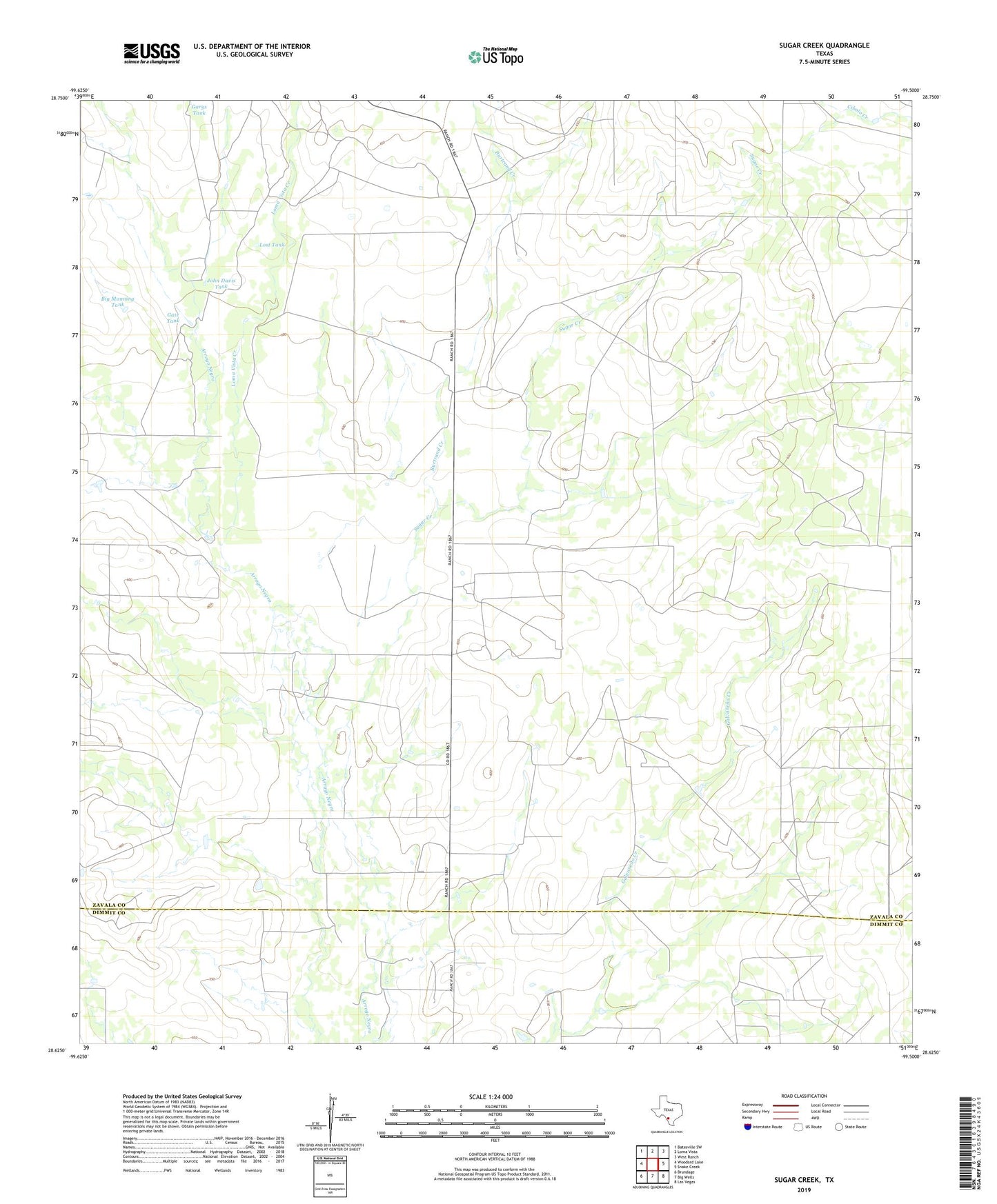
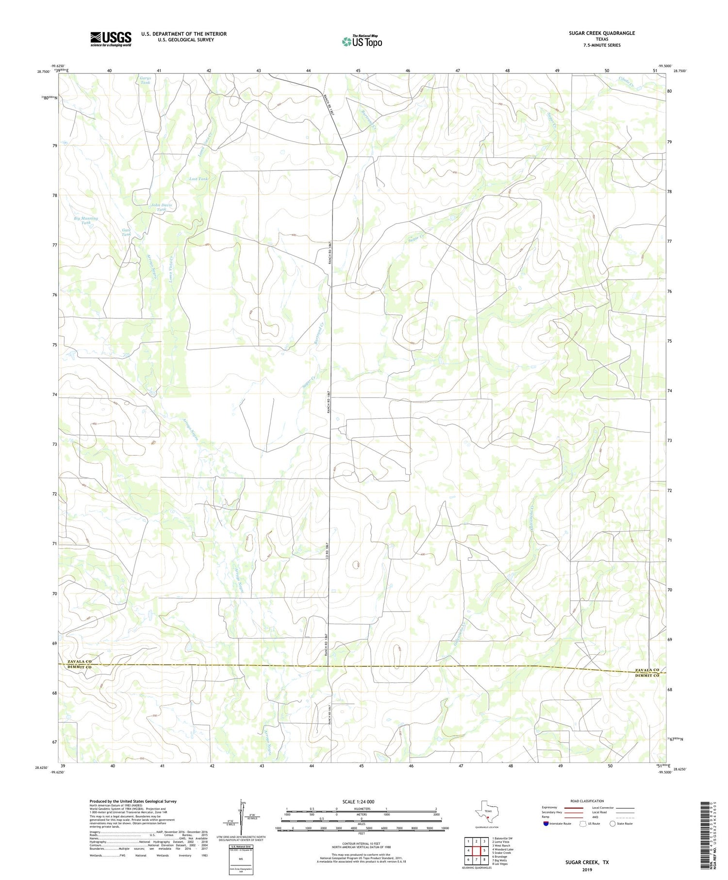
2019 topographic map quadrangle Sugar Creek in the state of Texas. Scale: 1:24000. Based on the newly updated USGS 7.5' US Topo map series, this map is in the following counties: Zavala, Dimmit. The map contains contour data, water features, and other items you are used to seeing on USGS maps, but also has updated roads and other features. This is the next generation of topographic maps. Printed on high-quality waterproof paper with UV fade-resistant inks.
Quads adjacent to this one:
West: Woodard Lake
Northwest: Batesville SW
North: Loma Vista
Northeast: West Ranch
East: Snake Creek
Southeast: Las Vegas
South: Big Wells
Southwest: Brundage
Contains the following named places: Big Manning Tank, Burtrand Creek, Garys Tank, Gate Tank, John Davis Tank, Loma Vista Creek, Lost Tank, Sugar Creek