MyTopo
Teague South Texas US Topo Map
Couldn't load pickup availability
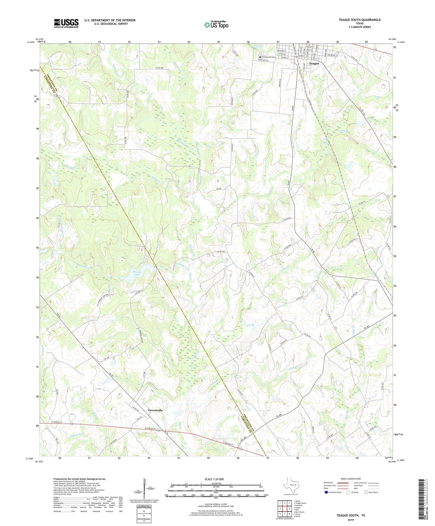
2019 topographic map quadrangle Teague South in the state of Texas. Scale: 1:24000. Based on the newly updated USGS 7.5' US Topo map series, this map is in the following counties: Freestone, Limestone. The map contains contour data, water features, and other items you are used to seeing on USGS maps, but also has updated roads and other features. This is the next generation of topographic maps. Printed on high-quality waterproof paper with UV fade-resistant inks.
Quads adjacent to this one:
West: Fallon
Northwest: Mexia
North: Teague North
Northeast: Fairfield
East: Dew
Southeast: Donie
South: Farrar
Southwest: Box Church
Contains the following named places: Asia, Browns Dam, Browns Lake, Camp Creek, Cash Branch, Cat Creek, Cedar Creek, Cedar Creek Church, Chambers Creek, East Fork Chambers Creek, Greenwood Cemetery, Grove Island Creek, Holman Creek, Mill Branch, Patton Creek, Perry Creek, Personville, Personville Division, Saint James United Methodist Church, Salem Church, Sellers Lake, Teague Public Library, Union Church, West Fork Chambers Creek, White Rock Creek