MyTopo
Truscott South Texas US Topo Map
Couldn't load pickup availability
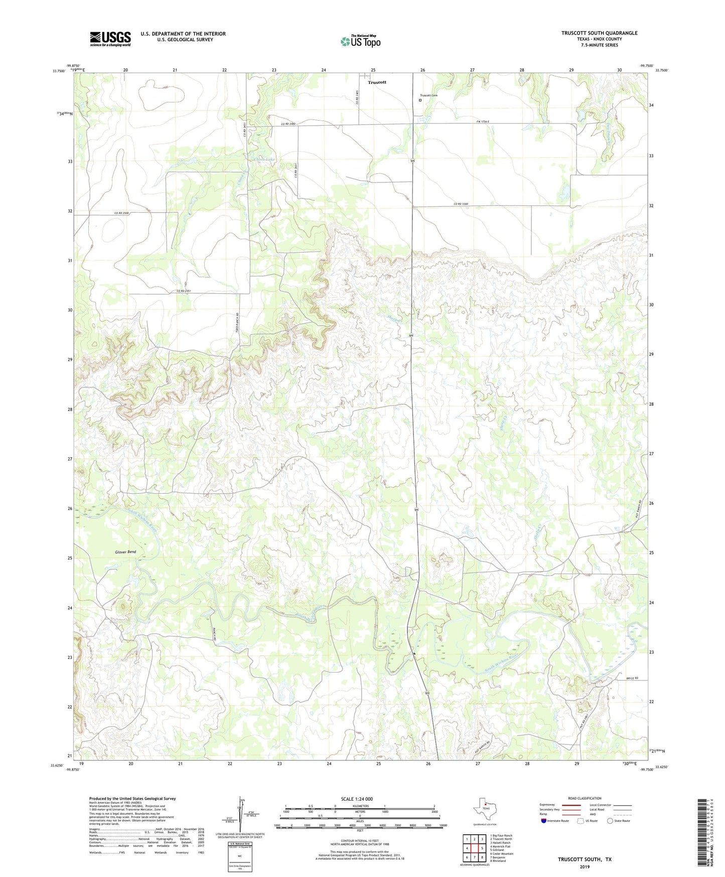
2019 topographic map quadrangle Truscott South in the state of Texas. Scale: 1:24000. Based on the newly updated USGS 7.5' US Topo map series, this map is in the following counties: Knox. The map contains contour data, water features, and other items you are used to seeing on USGS maps, but also has updated roads and other features. This is the next generation of topographic maps. Printed on high-quality waterproof paper with UV fade-resistant inks.
Quads adjacent to this one:
West: Maverick Flat
Northwest: Big Four Ranch
North: Truscott North
Northeast: Halsell Ranch
East: Gilliland
Southeast: Rhineland
South: Benjamin
Southwest: Cedar Mountain
Contains the following named places: Beavers Ranch, Benjamin Division, China Lake, Glover Bend, Knox County Museum, Sheep Creek, Stamford Carnegie Library, Truscott Cemetery