MyTopo
Vance Texas US Topo Map
Couldn't load pickup availability
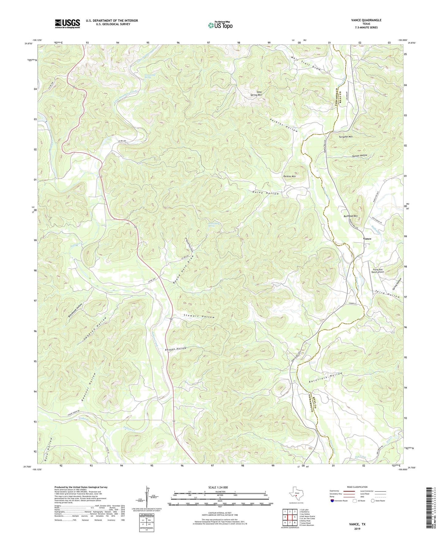
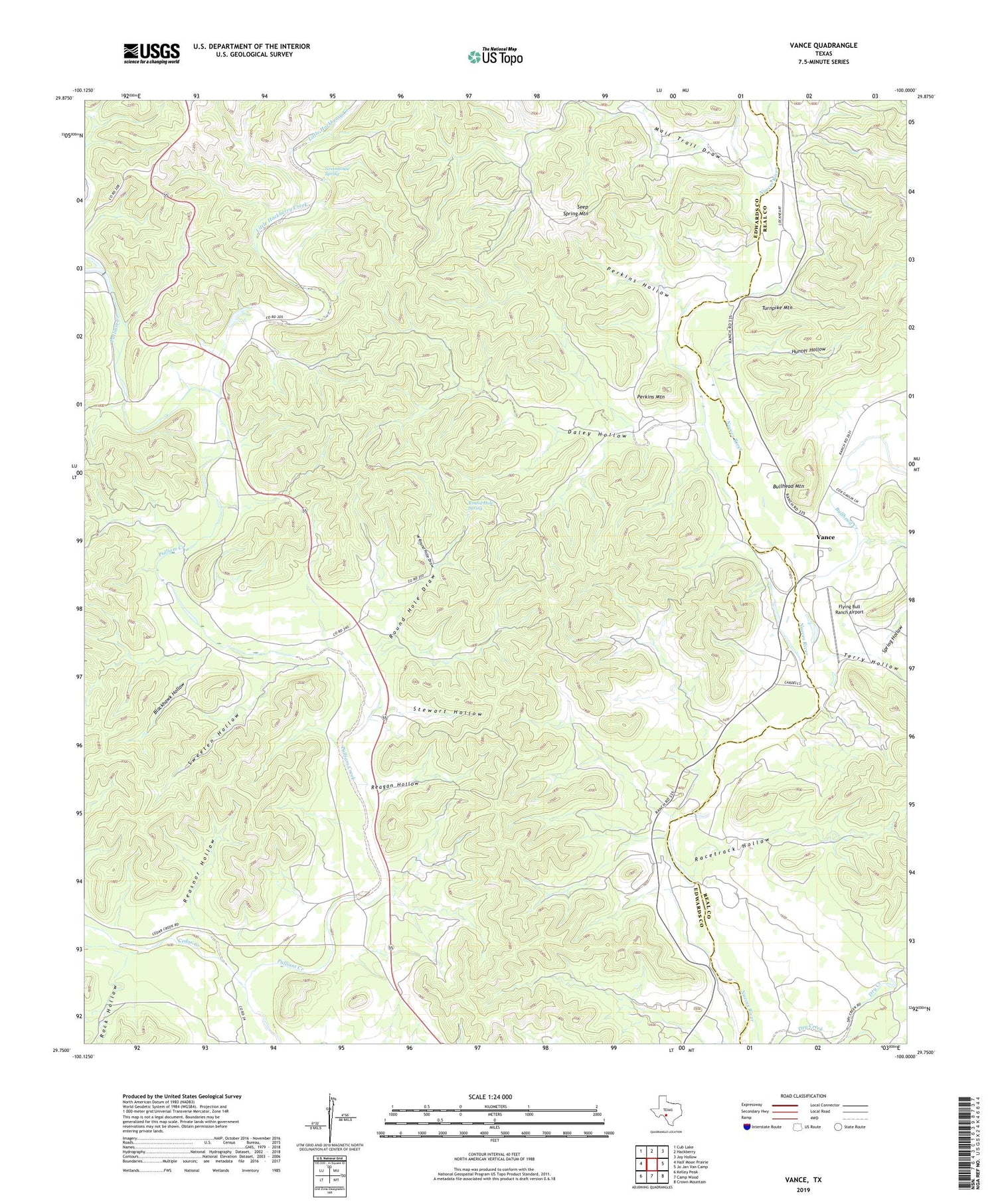
2019 topographic map quadrangle Vance in the state of Texas. Scale: 1:24000. Based on the newly updated USGS 7.5' US Topo map series, this map is in the following counties: Edwards, Real. The map contains contour data, water features, and other items you are used to seeing on USGS maps, but also has updated roads and other features. This is the next generation of topographic maps. Printed on high-quality waterproof paper with UV fade-resistant inks.
Quads adjacent to this one:
West: Half Moon Prairie
Northwest: Cub Lake
North: Hackberry
Northeast: Joy Hollow
East: Jo Jan Van Camp
Southeast: Crown Mountain
South: Camp Wood
Southwest: Kelley Peak
Contains the following named places: Blackhawk Hollow, Blue Hole, Bullhead Creek, Bullhead Mountain, Cedar Creek, Daley Hollow, Flying Bull Ranch, Flying Bull Ranch Airport, Greenhouse Spring, Hunter Hollow, Little Hackberry Creek, Mail Trail Draw, Perkins Hollow, Perkins Mountain, Polecat Creek, Racetrack Hollow, Reagan Hollow, Reasnor Hollow, Rock Hollow, Round Hole Draw, Round Hole Spring, Seep Spring Mountain, Spring Hollow, Stewart Hollow, Sweeten Hollow, Terry Hollow, Turnpike Mountain, Vance, W Round Hole Draw, ZIP Code: 78828