MyTopo
Wild Horse Canyon Texas US Topo Map
Couldn't load pickup availability
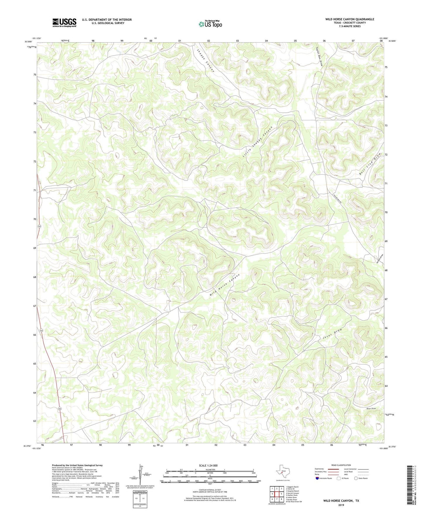
2019 topographic map quadrangle Wild Horse Canyon in the state of Texas. Scale: 1:24000. Based on the newly updated USGS 7.5' US Topo map series, this map is in the following counties: Crockett. The map contains contour data, water features, and other items you are used to seeing on USGS maps, but also has updated roads and other features. This is the next generation of topographic maps. Printed on high-quality waterproof paper with UV fade-resistant inks.
Quads adjacent to this one:
West: Harrell Canyon
Northwest: Baggett Ranch
North: Ozona SE
Northeast: Hospital Ranch
East: Shafter Draw
Southeast: Flat Rock Draw SW
South: Brushy Draw
Southwest: Indian Draw
Contains the following named places: Adams Ranch, Bull Clod Draw, Jackson Draw, Little Shaggy Canyon, Phillips Ranch, Seahorn Ranch, Shaggy Canyon, Sulphur Windmill, Ward Ranch, Wild Horse Canyon